


+ 71
Iron Horse Trail
Hiking Trail
Moderate
28.23 mi
527 ft
A rails-to-trails route running from Mountain View to Pleasanton.
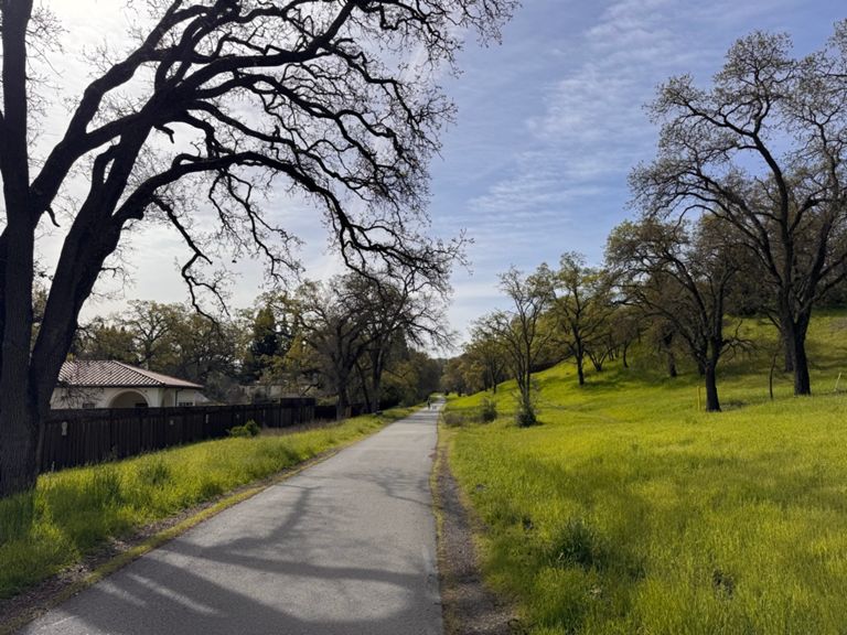
The Iron Horse Trail is a long-distance rails-to-trails route running from Mountain View to Pleasanton, California. This trail is extremely popular with road cyclists (both recreationally and for commuting), but walkers/hikers, runners, skaters, and more all use this trail.
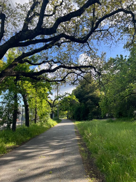
This 28-mile trail runs through a series of greenways and along a canal through the East Bay area, providing a welcome respite from the press of traffic.
While the route shown here measures 28.2 miles one-way, you can tailor this distance as you see fit. If you ride an out-and-back, you can easily get to 56 miles, and if you connect to other nearby greenway paths, you can go much, much further. Or, if you want to hike a short way, you can do that too, beginning from any number of parks and access points along the trail.
Written by Greg Heil
The Iron Horse Trail is a long-distance rails-to-trails route running from Mountain View to Pleasanton, California. This trail is extremely popular with road cyclists (both recreationally and for commuting), but walkers/hikers, runners, skaters, and more all use this trail.
This 28-mile trail runs through a series of greenways and along a canal through the East Bay area, providing a welcome respite from the press of traffic.
While the route shown here measures 28.2 miles one-way, you can tailor this distance as you see fit. If you ride an out-and-back, you can easily get to 56 miles, and if you connect to other nearby greenway paths, you can go much, much further. Or, if you want to hike a short way, you can do that too, beginning from any number of parks and access points along the trail.
Written by Greg Heil