


+ 67
Shanahan Ridge
Hiking Trail
Hard
3.86 mi
817 ft
1:22:29
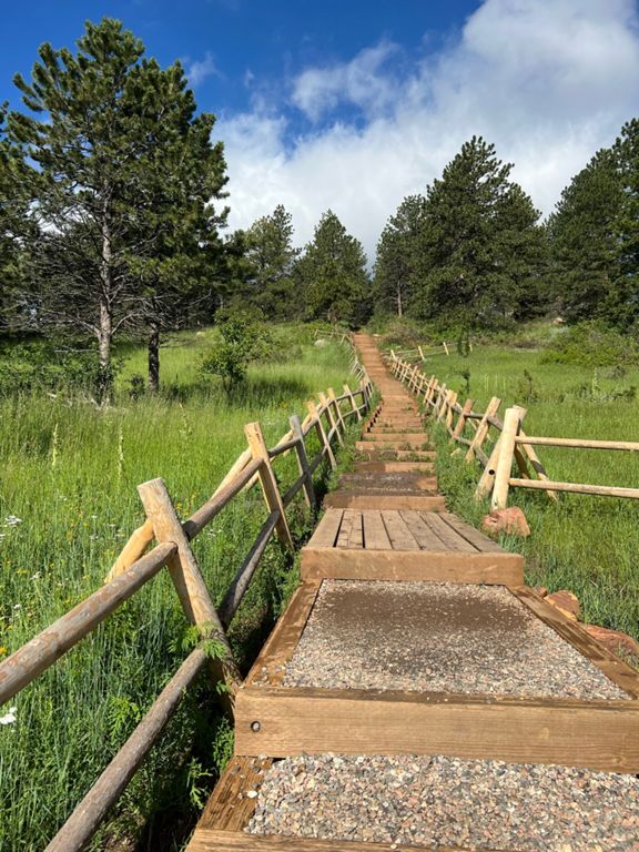
The Shanahan Ridge hike takes you high above Boulder to a long ridgeline with spectacular views. There are several trails available in the area, but this routing is popular with Strava members. The trail follows a loop route and most members tend to take that loop counterclockwise. The average gradient isn’t too severe, but there are some steep bits. Because of this, most consider this a moderate hike. This is one of the most popular trails in the area with local Strava members.
Route and Elevation
Segments
| Name | Distance | Elev. Diff. | Avg. Grade |
|---|---|---|---|
| Trailhead to Pond | 0.76 mi | 285 ft | 7.1% |
| North Fork Shanahan Trail, E-W | 0.52 mi | 305 ft | 11.0% |
| Shanahan Bypass | 0.75 mi | -56 ft | -0.2% |