


Tunk Mountain Ridge Trail
Hiking Trail
Hard
3.36 mi
1,004 ft
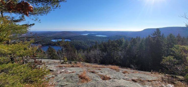
4 mile out and back hike with great summit views of surrounding mountains and ponds
Tunk Mountain is a moderately difficult hike that goes around a couple ponds on the way to the summit with gorgeous views of the surrounding mountains and ponds. Some trail maps show this as a loop hike but the only trail that is maintained is the out and back trail shown here. It's especially gorgeous in the fall. For more info, see: Written by FATMAP Official
Tunk Mountain is a moderately difficult hike that goes around a couple ponds on the way to the summit with gorgeous views of the surrounding mountains and ponds. Some trail maps show this as a loop hike but the only trail that is maintained is the out and back trail shown here. It's especially gorgeous in the fall. For more info, see: Written by FATMAP Official