We use essential cookies to make our website work. We also set additional cookies that help us improve your experience, help keep you safe, perform analytics, and serve relevant ads. These additional cookies will be set only if you click ‘Accept’ below. For more information about the cookies we use, or to change your preferences, please visit our Cookies Policy.
route-highlight
route-highlight
route-highlight
route-highlight
route-highlight
route-highlight
+ 50

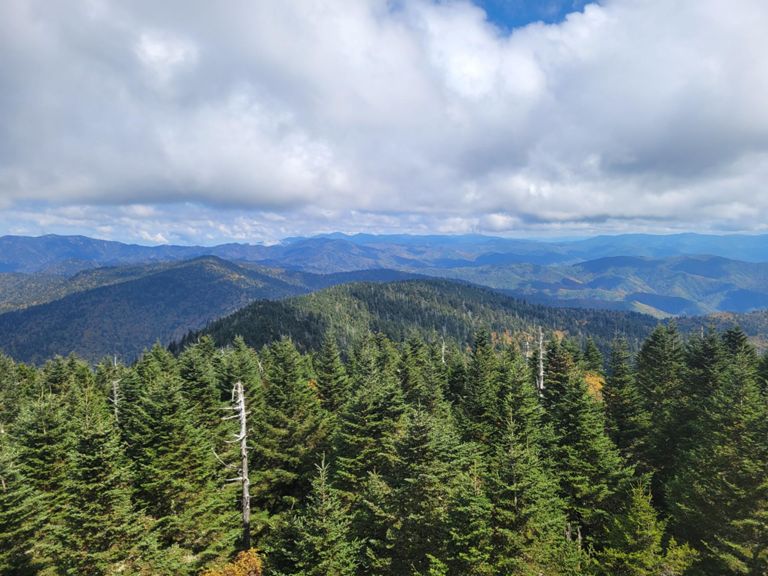
Clingmans Dome Trail

Hiking Trail

Details
1.12 mi
335 ft
The Clingman’s Dome Trail is a steep, paved trail to Clingmans Dome Observation Tower, which sits at the highest point in Tennessee. You’ll enjoy panoramic views of Great Smoky Mountains National Park once you make your way to the top. The trail follows an out and back route. Despite its short length, this thing is steep! Come prepared for a challenging ascent. This is one of the most popular hikes for Strava members visiting the park.

Route and Elevation

2,000 ft
6,300 ft6,400 ft6,500 ft6,600 ft0.0 mi0.1 mi0.2 mi0.3 mi0.4 mi0.5 mi0.6 mi0.7 mi0.8 mi0.9 mi1.0 mi1.1 mi