

+ 31
Humpback Rocks Loop
Hiking Trail
Hard
4.1 mi
1,187 ft
A family-friendly day hike along the northern edge of the Blue Ridge Parkway
The Humpback Rocks Loop is an excellent family-friendly hike along the Blue Ridge Parkway. Hikers have the option for a shorter 2-mile out-and-back hike to the overlook or this 4-mile loop paired with a small portion of the 2,200-mile long Appalachian Trail.
According to Wikipedia, "From 1851 until the early 20th century, wagoners hauling cargo used the bygone road Howardsville Turnpike to go between Howardsville and the Shenandoah Valley.[3] Often the travelers camped at Humpback Gap." In an effort to preserve the region's rich history, there is now a visitor center with exhibits and a picnic area located along the Blue Ridge Parkway.
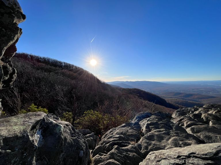
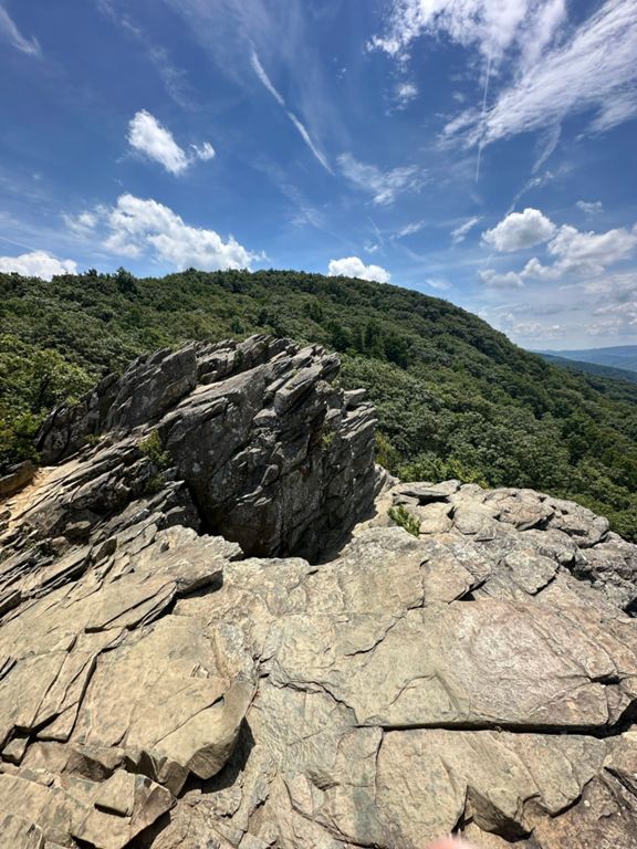
Beginning at the Humpback Gap Trailhead south of the visitor center, the path climbs steadily for one mile up Humpback Rocks Trail. After gaining nearly 700' of elevation, you'll reach a trail junction. A spur trail to the left leads to an incredible vista from an exposed overlook. Atop the cliff, you are welcomed with sweeping views of the Shenandoah's in the distance.
For some extra views, follow the Appalachian Trail south to the official summit of Humpback Mountain. Few day hikers venture this far, but evidence of farming is significantly more abundant.
Instead of retracing your steps back down Humpback Rocks Trail, follow the Appalachian Trail northbound as it gradually descends the east side of the mountain. Most of this segment follows an abandoned road, providing a relaxing hike back to the trailhead.
Sources:
Written by Brendon Voelker
Route and Elevation
Segments
| Name | Distance | Elev. Diff. | Avg. Grade |
|---|---|---|---|
| Humpback Rocks Parking to Shortcut | 0.43 mi | 423 ft | 18.2% |
| Humpback Rocks Hike | 0.86 mi | 758 ft | 16.1% |
| HBR Long Way Down | 3.06 mi | -1,132 ft | -4.8% |
| climb out, AT to Humpback Parking | 0.21 mi | 89 ft | 7.8% |
