


+ 70
Tolmie Peak Trail
Hiking Trail
Hard
5.61 mi
1,606 ft
2:53:03
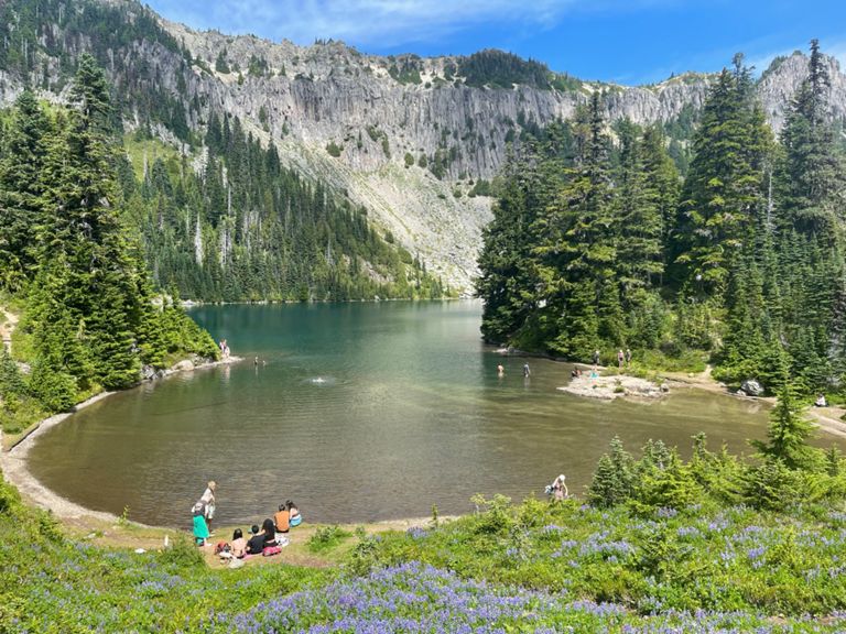
The Tolmie Peak Trail is one of the most spectacular hikes in the entire National Park System. You’ll travel from the shore of Mowich Lake to one of the park’s historic fire towers. The views from the tower, which sits on the summit of Tolmie Peak are so breathtaking that you’ll just have to go see it for yourself. The trail follows an out and back route. Because of the length and total elevation gain, most hikers consider this a hard hike. The Tolmie Peak Trail is one of the most popular hikes for Strava members visiting Mount Rainier National Park. The inside of the fire lookout is closed to the public, but it may be possible to climb the steps up to the deck.
Route and Elevation
Segments
| Name | Distance | Elev. Diff. | Avg. Grade |
|---|---|---|---|
| Mountain Meadows Rd Climb | 0.50 mi | 499 ft | 18.7% |
| Tolmie Peak Trail Climb | 0.78 mi | 574 ft | 13.9% |
| Tolmie Peak Trail Climb | 0.23 mi | 223 ft | 17.8% |