

+ 23
Appalachian Trail: Spectacle Pond to Katahdin Stream Campground (100 Mile Wilderness)
Hiking Trail
Hard
101.06 mi
18,494 ft
The infamous 100-Mile Wilderness of the Appalachian Trail.
This ~100 mile stretch of the Appalachian Trail is the most remote, challenging, and demanding portion of the trail. It crosses over the picturesque mountain ranges of Central Maine, and skirts between its beautiful, serene lakes. This segment should only be attempted by experienced hikers who have properly researched and planned their trip.
The best time of year to hike this segment is mid-summer, and on average, camping opportunities are present every 5-10 miles, making for countless ways to divide this segment up. Multiple sources suggest 7 to 10 days to complete the route. Any longer than that, and the amount of food you would have to carry could become overwhelming. Another source suggests it is worthwhile to bring along fishing gear, as countless angling opportunities will be found.
One of the most important things to know is that there are no officially recognized resupply opportunities in this segment. The southern terminus is Monson, where you could take the road south to resupply.
As you head north from the trailhead, pay close attention to trail blazes and markers as you hike. Though well-blazed, certain sections can be more difficult to follow, and the area can become disorienting at times. Follow the trail across countless summits and along streams and lakes as you head towards the highest point on the segment, White Cap Mountain. Enjoy the particularly phenomenal views before continuing north.
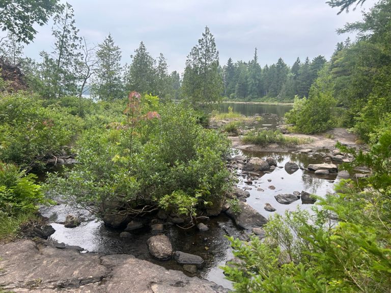
Further north, the trail runs around a couple of large lakes, following their shorelines and passing through intermittent bogs.
The official northern terminus of the 100-Mile Wilderness lies along a state highway, where you'll find the Abol Bridge Campground & Store. This serves as the final resupply point or opportunity for a home cooked meal before rounding out the final miles of the 2,200-mile long Appalachian Trail.
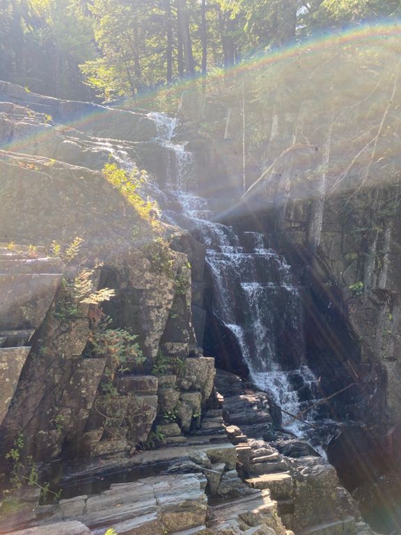
Follow the trail north for a few more miles. Along the way, you'll pass a series of picturesque waterfalls before reaching Daicey Pond. Look for a campsite on the west side of the lake. This campground is also accessible by road and for a short hike, a nature trail circles the lake.
Pass Grassy Pond and continue up the trail to the Katahdin Stream Campground to round out this segment. This hub serves as the staging area for the final approach to Mount Katahdin.
Should you find yourself in over your head in the wilderness, there are only two notable and used roads along the way, Katahdin Iron Works (KIW) road and the Jo-Mary road. Many of the other roads that you will cross run miles in the wrong direction, often to places that haven't seen visitors in some time. Though traffic is limited, you could likely catch a ride back to town along KIW Road or Jo-Mary Road.
Sources:
https://sectionhiker.com/at-section-hike-100-mile-wilderness/
https://en.wikipedia.org/wiki/Hundred-Mile_Wilderness
https://sectionhiker.com/how-to-hike-the-100-mile-wilderness/
http://www.wikitrail.org/sections/view/at/3043/100-mile-wilderness Written by Brendon Voelker
Route and Elevation
Segments
| Name | Distance | Elev. Diff. | Avg. Grade |
|---|---|---|---|
| Route 15 to Little Wilson Falls | 6.26 mi | -509 ft | -0.7% |
| Route 15 to Leeman Brook | 2.82 mi | -371 ft | -0.7% |
| Leeman Brook -> Little Wilson Falls | 3.40 mi | -289 ft | -1.0% |
| Appalachian Trail Climb | 0.51 mi | 194 ft | 7.1% |