
The Best Hiking Trails in Sedona, AZ
Explore Hiking TrailsTrail adventures in Red Rock Country
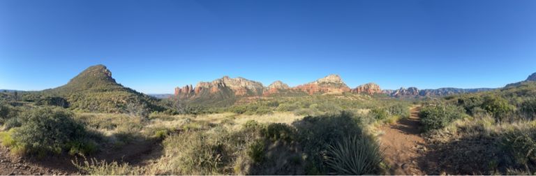
Sedona is a hiker’s paradise. Trail enthusiasts travel from all around the world to walk amongst the red buttes and sandstone cliffs. If you’re looking for the best hikes in Sedona Arizona, we’ve got a great list below. There are family friendly options and more strenuous hikes to choose from.
Sedona has a number of landmarks worth hiking and exploring. Of course, there is the famous and photo worthy Devil’s Bridge but you can’t go wrong with any of the hikes listed here. Check out Bell Rock for a shorter option or Cathedral Rock for a steeper, more challenging hike. Other hikes on this list take you past Sedona Landmarks like Airport Mesa and Boynton Canyon.
We use data from millions of hikes to help you find the best hikes in Sedona. This up to date trail information will help you have a great time on the trail.
Top 30 hiking trails in Sedona, AZ
Page 1 of 2
1


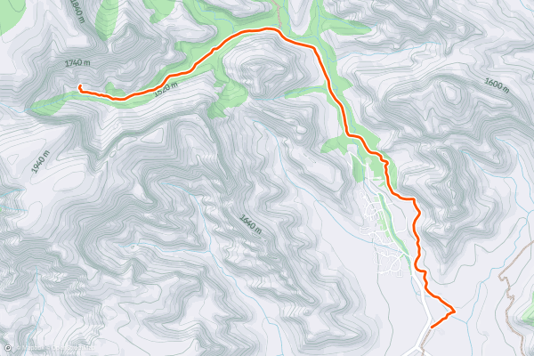
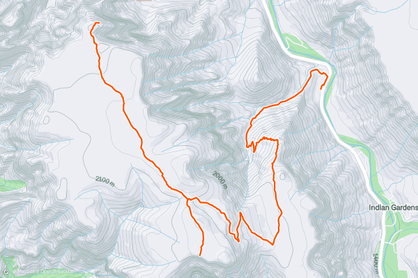
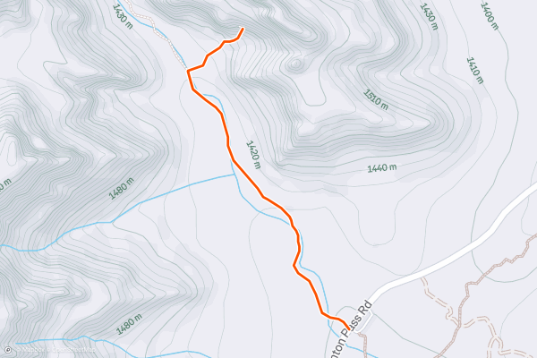
Devil's Bridge Trail
The Devil's Bridge Trail is a memorable hike to a natural sandstone arch in the Coconino National Forest just outside Sedona Arizona. The trail follows an out and back route. Most hikers consider this a moderate trail due to its length and the steep sections when you’re nearing Devil’s Bridge. This is one of the most popular hikes in the area for Strava members. Everybody wants a photo at Devil’s Bridge, so you may have to wait briefly to get your picture taken if you go at a popular time of day
2


Cathedral Rock Trail
The Cathedral Rock trail is a fun hike that gets you up close with one of Sedona’s most scenic sandstone buttes. The trail follows an out-and-back route. It is short, just over a mile round trip, but there are steep sections that require scrambling over rocks. Because of these technical sections, most hikers consider this a hard trail. The Cathedral Rock Trail is one of the most popular hikes in the area with Strava members and is a must see for anyone exploring Red Rock Country.
3


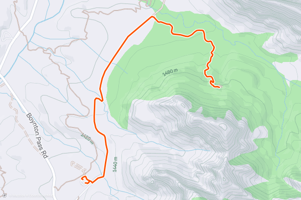
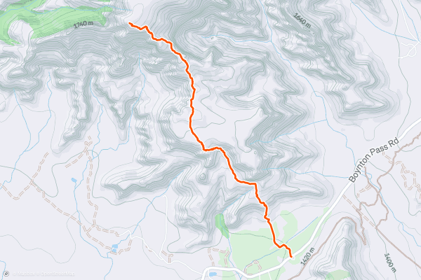
Boynton Canyon Trail
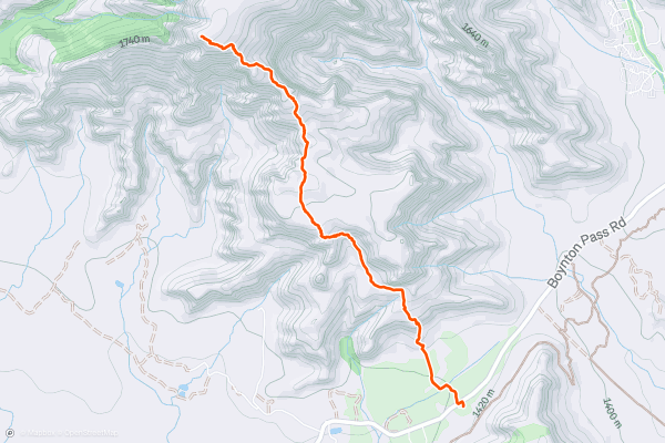
The Boynton Canyon Trail is a great hike through a beautiful box canyon in the Red Rock-Secret Mountain Wilderness just north of Sedona, Arizona. The trail follows an out and back route. Because of its length, most hikers consider this a moderate trail. This is one of the most popular hikes in the area for Strava members. The Red-Rock Secret Mountain Wilderness charges a fee to enter so come prepared!
4


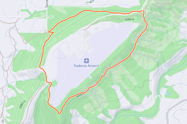
Airport Loop
The overlook of the Sedona valley from the flanks of Airport Butte is one of the most incredible vistas—and most easily accessible—you’ll find in Sedona. With a paved road to the trailhead and epic views after just a short walk up the hill, you could easily roll up, snap some photos, and move on....
5

Boynton Canyon
The hike into Boynton Canyon is respectably long at 6 miles round trip. However, it's relatively flat considering its length, only gaining 833 vertical feet round trip. Some sections of this hike are flat and sandy, making for easy hiking through exposed sections....
6


Submarine Rock via Broken Arrow Trail
Submarine Rock is an iconic rock formation that many of the local jeep tours visit. However, you can easily reach it via a mellow 3-mile hike that won't cost you anything!
The hike to the top of Submarine Rock begins on the Broken Arrow Trail, winding through the red rocks and pinion pines as it mostly parallels a nearby jeep trail....
7


Devil's Bridge
The Devil's Bridge is a beautiful elevated red rock arch—the largest natural arch in the Sedona area. Since the top of the "arch" is quite flat and easily accessible from the nearby mountainside, it's easy to walk out onto the arch and enjoy a spectacular vista....
8


Fay Canyon Trail
The Fay Canyon Trail is a welcoming hike with a natural sandstone arch in Arizona’s stunning Red Rock Country. The trail follows an out and back route. Most hikers consider this an easier trail. Even on this less challenging hike, you’ll be rewarded with spectacular views of the surrounding canyons. The Fay Canyon Arch is just over one mile from the trailhead and is a must see!
9


Wilson Mountain
The 10.5-mile roundtrip Wilson Mountain North Trail hike, including both the Sedona Overlook and the North Overlook options, begins at the Encinoso Picnic Area. Parking here requires a recreation pass (either a Red Rock Pass or a Federal Interagency Pass)....
10


Twin Buttes Loop
This beautiful loop hike circumnavigates the Twin Buttes rock formation, crossing a low mountain pass along the way. Even so, this 3.8-mile hike is quite aerobically moderate: it only gains 509 feet of vertical along the way, meaning that many prospective hikers will be able to complete this loop....
11


Schuerman Vista
This short 1.7-mile round trip hike to Schuerman Vista is a high-value outing that leads to an incredibly beautiful viewpoint at the end. If you're looking for a short hike with a high view-to-effort ratio, Schuerman Vista definitely fits the bill....
12
Boynton Canyon: Subway Cave
The Subway Cave in Boynton Canyon used to be a local secret... but it's a secret no longer. Boynton Canyon is now one of the most popular hikes in all of Sedona, primarily due to the Subway Cave....
13


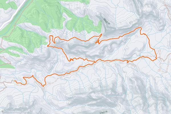
Soldier Pass -> Brin's Mesa Loop
The Soldier Pass Trail is one of the most famous in Sedona, thanks to the unique rock formations along the route, including the Devil's Kitchen sinkhole, the Seven Sacred Pools, and the Soldier Pass Cave....
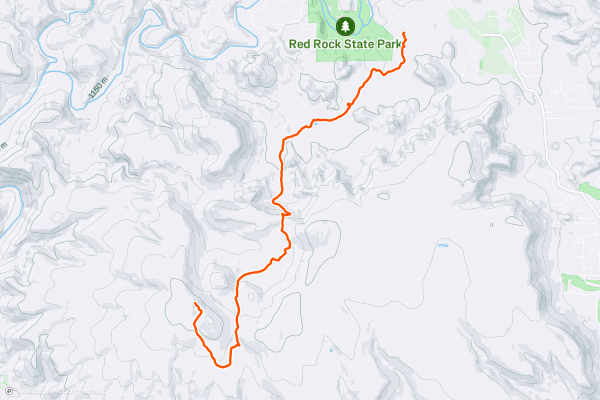
14


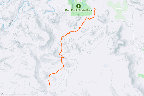
Turkey Creek Trail
If you want to escape the crowds on Sedona's most popular hikes, head to the Turkey Creek Trail. Turkey Creek offers a more secluded hiking experience as it heads high up a canyon above Red Rock State Park....
15


Broken Arrow Trail to Chicken Point
Chicken Point is a popular Sedona destination for Jeepers and hikers alike. You're also likely to see trail runners, mountain bikers, and maybe even unicyclers enjoying the spectacular views from these elevated rock ledges....
16


Fay Canyon Arch
If you are looking for a short and scenic hike in Sedona, Arizona, you should check out the Fay Canyon Arch trail. This 1.5-mile out-and-back trail takes you through a lush canyon with towering red rock walls and a hidden arch that will wow you with its size and shape....
17
House Mountain
If you want to escape the crowds on Sedona's most popular hikes, consider tackling this lengthy hike to the summit of House Mountain. House Mountain is a mid-Miocene shield volcano forming part of the skyline to the southwest of Sedona....
18


Bear Mountain Trail
The Bear Mountain Trail is a challenging hike with rewarding views just outside Sedona Arizona. The trail follows an out and back route. Most hikers consider this a hard trail due to its length and a few steep sections which can challenge less experienced hikers. The views from the summit are some of the best in Arizona. Keep your eyes peeled for white, diamond shaped painted trail markers. When you reach the rock sections and the trail becomes less clear, these will guide you to and from the summit.
19


Hangover Trail
This hike, one of those rare routes that both hikers and VERY skilled bikers can equally enjoy, begins at the Huckaby trailhead on Schnebly Hill Rd which requires a recreation pass (either a Red Rock Pass or a Federal Interagency Pass)....
20
Bear Mountain
The Bear Mountain trail begins at a very popular trailhead, which requires a recreation pass (either a Red Rock Pass or a Federal Interagency Pass). Park at the Doe/Bear Mountain trailhead, but cross the Boynton Canyon road to find the start of the hike....
Page 1 of 2
Top regions for hiking trails on Strava
- Acadia National Park
- Alabama
- Alaska
- Albuquerque
- Alyeska
- Angeles National Forest
- Arizona
- Arkansas
- Austin, TX
- Bay Area
- Bend
- Big Sky
- Blue Mountain Ski Area
- Boston
- Boulder, CO
- Brevard
- Bridger Bowl
- Buena Vista
- California
- Cape Cod
- Colorado
- Connecticut
- Dahlonega
- Downieville
- Ellijay
- Flagstaff
- Florida
- Georgia
- Glacier National Park (USA)
- Grand Teton National Park
- Great Smoky Mountains National Park, TN
- Hawaii
- Hurricane
- Hyalite
- Idaho
- Illinois
- Indiana
- Kansas
- Kentucky
- Lake Tahoe
- Las Vegas, NV
- Los Angeles, CA
- Maine
- Mammoth Mountain
- Marin County
- Maryland
- Massachusetts
- Maui, HI
- Michigan
- Minnesota
- Missouri
- Moab
- Montana
- Mount Rainier National Park
- Mt. Rainier National Park, WA
- Nederland
- Nevada
- New Hampshire
- New Jersey
- New Mexico
- New York
- New York, NY
- North Bridgers
- North Carolina
- North Dakota
- Oakridge
- Ohio
- Oklahoma
- Oregon
- Park City and Deer Valley
- Pennsylvania
- Phoenix, AZ
- Placitas
- Portland, OR
- Roanoke
- Salida
- Salt Lake City, UT
- San Diego, CA
- San Francisco, CA
- Santa Fe, NM
- Santa Monica Mountains
- Seattle, WA
- Sedona, AZ
- Sisters
- South Carolina
- South Dakota
- South Lake Tahoe, CA
- Stowe
- Sugarbush
- Sun Valley
- Taos
- Telluride
- Tennessee
- Texas
- Timberline Lodge Summer
- Utah
- Vermont
- Virginia
- Washington
- West Virginia
- Wind River Range
- Winter Park
- Wisconsin
- Wyoming
- Yellowstone National Park
- Yosemite National Park, CA
- Zion National Park, UT