
The Best Hiking Trails in Brevard
Explore Hiking TrailsTop 18 hiking trails in Brevard
Page 1 of 1
1


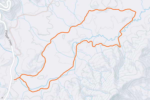
Pink Beds Loop
With little elevation change, this well-marked loop is one of the best hikes in Pisgah National Forest. Pack a lunch and bring your dog along on this beautiful hike through the historic Pink Beds Valley....
2


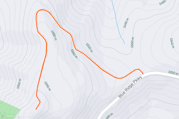
Fryingpan Mountain
Commissioned in 1941, the 70' tall fire tower on Fryingpan Mountain is the perfect destination for a short hike. The panoramic views from it's perch also make it the perfect spot to watch the sunrise or sunset....
3


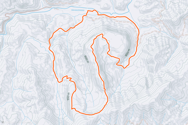
John Rock
Pack a lunch and bring the entire family along on this staple hike in Pisgah National Forest. Just a short drive from Brevard, this loop takes you to an exposed slickrock overlook with incredible views towards the Balsam Range....
4


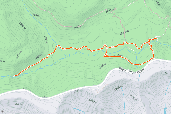
Graveyard Fields Loop
Graveyard Fields is one of the more popular spots on the Blue Ridge Parkway in Pisgah National Forest - and it's not hard to see why. Over 5,000' above sea level, this flat mountain valley is known for its incredibly serene and beautiful waterfalls that pass through forming the headwaters of the Yellowstone Prong of the Pigeon River....
5
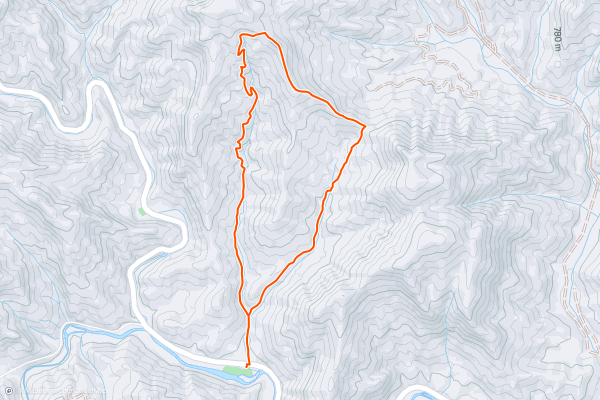
Coontree Loop
If you're looking for a short, family-friendly hike with a picnic, look no further. This loop originates at the Coontree Picnic Area and travels ~3.5 miles through beautiful terrain lined with rhododendron and mountain laurel....
6
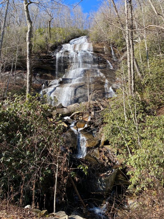


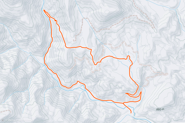
Daniel Ridge Loop
Popular among mountain bikers and trail runners, Daniel Ridge is a moderate hike with a 150' cascading waterfall near the trailhead. If you're limited on time, the falls is only a short walk and perfect for the entire family....
7


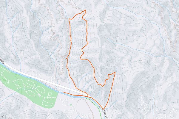
Sycamore Cove
Whether you're camping at the Davidson River Campground, or a local looking to break up a monotonous afternoon, this is an excellent short hike less than a 5-minute drive from the entrance of Pisgah National Forest....
8


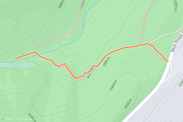
Skinny Dip Falls
Skinny Dip Falls is a classic waterfall hike along the Blue Ridge Parkway, perfect for a hot summer day. Several swimming holes, including one that's ~6 feet deep, make it a popular summer destination for the entire family - including the dog....
9


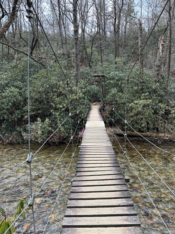

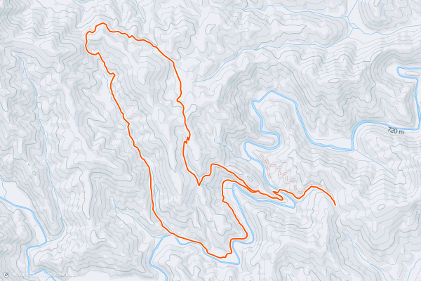
Poundingmill / Mullinax Loop
Part of Pisgah National Forest, Turkey Pen is a unique area known for its solitude and remoteness. Most trails hold deep roots in former logging operations, many originally utilized by leased railroad equipment....
10


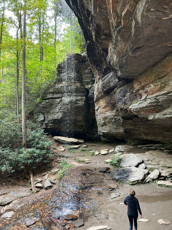

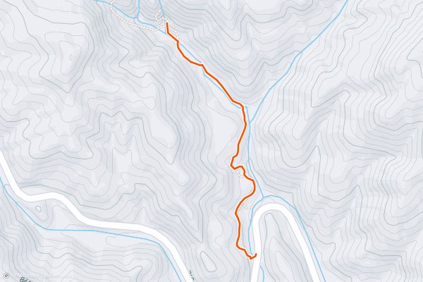
Moore Cove Falls
Moore Cove Falls is an easy, family-friendly waterfall hike in the "Land of Waterfalls" — Transylvania County, North Carolina. Unlike some of the waterfall hikes in Transylvania County, Moore Cove Falls is quite easy, at just 1....
11


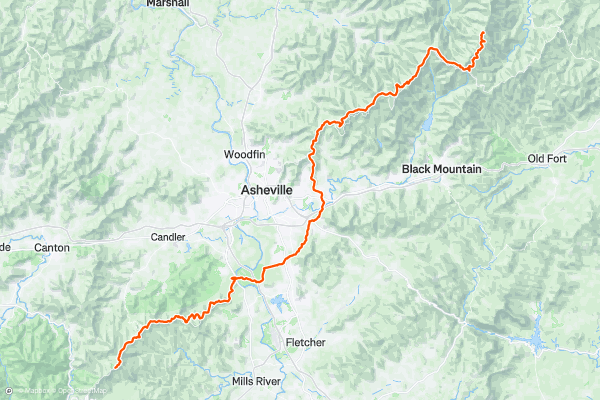
Mountains To Sea Trail: Pisgah Inn to Mount Mitchell State Park
This segment of the Mountains to Sea Trail (MST) traverses from the Iconic Pisgah Inn to Mt. Mitchell State Park.
A 3-mile round trip detour to Mt. Pisgah will reward you with stunning views of the Blue Ridge Mountains from a developed observation deck....
12


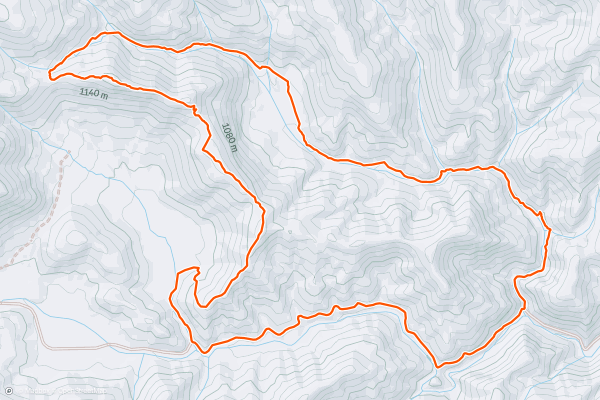
Pilot Cove / Slate Rock Loop
With over 500,000 acres in Pisgah National Forest, its often hard to figure out where to head for a day hike. Waterfalls, rhododendron tunnels, and exposed overlooks are only a few parts of what makes Pisgah great....
13


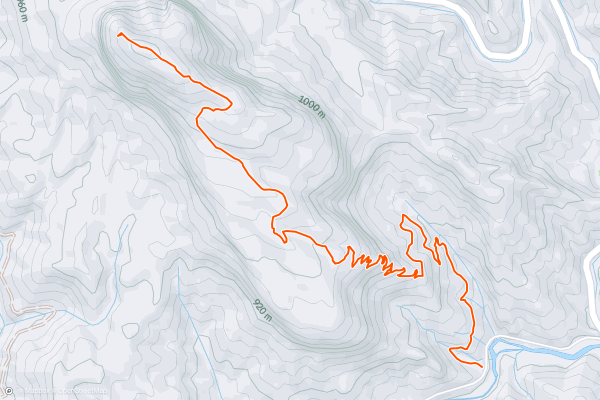
Looking Glass Rock
The view from the top of Looking Glass Rock will force you to sit down and be still, soaking in the grand vista spread out below you. In the Appalachian Mountains, finding a viewpoint of any sort is a rarity—but one this grand, one this spectacular? Looking Glass Rock provides one of the best views in Pisgah National Forest, and possibly in the entire Southeastern USA....
14


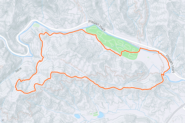
North Slope / Art Loeb Loop
Located just a few minutes from Pisgah Forest and Brevard, this is a beautiful hike through dense tunnels of rhododendron. It's also one of the best marked routes near town, making it hard to get lost....
15


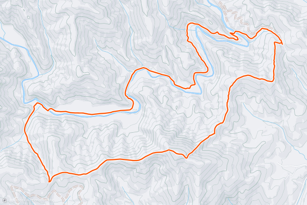
Turkey Pen Loop
Located halfway between Mills River and Brevard, locals affectionately refer to this area as "Turkey Pen". Encompassed within the 500,000+ acre Pisgah National Forest, this pocket of trails provides unique flora and fauna atypical of the rest of the forest....
16


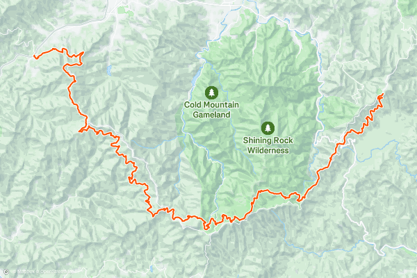
Mountains to Sea Trail: Balsam Gap to Pisgah Inn
This portion of the Mountains to Sea Trail (MST) departs from Balsam Gap on an epic journey into the Great Balsam Range. As you ascend into the higher elevations, mixed deciduous forest gives way to southern Appalachian spruce-fir forest, flora typically confined to the northern latitudes....
17


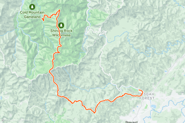
Art Loeb Trail
Known as one of the best backpacking routes within Pisgah National Forest, the Art Loeb Trail traverses from Daniel Boone Boy Scout Camp, across Shining Rock Ridge, and into the valley below, where it ends near the popular tourist town of Brevard....
18


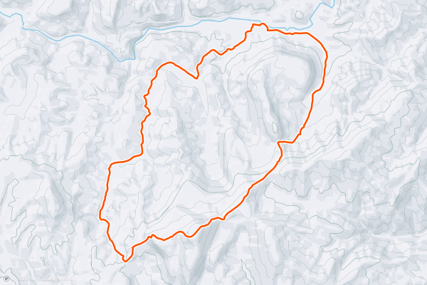
Cedar Rock Mountain
When Cedar Rock comes up in conversation, nearly everyone thinks of the trail in Dupont- a west-coast style slickrock trail with astounding views. Just a short drive down the road and lesser visited, Cedar Rock Mountain in Pisgah National Forest offers an epic hiking experience with views that rival other overlook trails in the region....
Page 1 of 1
Top regions for hiking trails on Strava
- Acadia National Park
- Alabama
- Alaska
- Albuquerque
- Alyeska
- Angeles National Forest
- Arizona
- Arkansas
- Austin, TX
- Bay Area
- Bend
- Big Sky
- Blue Mountain Ski Area
- Boston
- Boulder, CO
- Brevard
- Bridger Bowl
- Buena Vista
- California
- Cape Cod
- Colorado
- Connecticut
- Dahlonega
- Downieville
- Ellijay
- Flagstaff
- Florida
- Georgia
- Glacier National Park (USA)
- Grand Teton National Park
- Great Smoky Mountains National Park, TN
- Hawaii
- Hurricane
- Hyalite
- Idaho
- Illinois
- Indiana
- Kansas
- Kentucky
- Lake Tahoe
- Las Vegas, NV
- Los Angeles, CA
- Maine
- Mammoth Mountain
- Marin County
- Maryland
- Massachusetts
- Maui, HI
- Michigan
- Minnesota
- Missouri
- Moab
- Montana
- Mount Rainier National Park
- Mt. Rainier National Park, WA
- Nederland
- Nevada
- New Hampshire
- New Jersey
- New Mexico
- New York
- New York, NY
- North Bridgers
- North Carolina
- North Dakota
- Oakridge
- Ohio
- Oklahoma
- Oregon
- Park City and Deer Valley
- Pennsylvania
- Phoenix, AZ
- Placitas
- Portland, OR
- Roanoke
- Salida
- Salt Lake City, UT
- San Diego, CA
- San Francisco, CA
- Santa Fe, NM
- Santa Monica Mountains
- Seattle, WA
- Sedona, AZ
- Sisters
- South Carolina
- South Dakota
- South Lake Tahoe, CA
- Stowe
- Sugarbush
- Sun Valley
- Taos
- Telluride
- Tennessee
- Texas
- Timberline Lodge Summer
- Utah
- Vermont
- Virginia
- Washington
- West Virginia
- Wind River Range
- Winter Park
- Wisconsin
- Wyoming
- Yellowstone National Park
- Yosemite National Park, CA
- Zion National Park, UT