
The Best Hiking Trails in Bay Area
Explore Hiking TrailsTop 21 hiking trails in Bay Area
Page 1 of 2
1


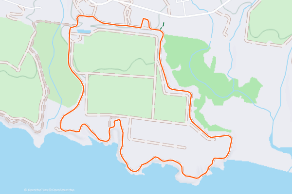
Old Cove Landing Loop
Wilder Ranch has an interesting mix of activities for a state park. In this park you can hike through a nature preserve and along rugged coastline, but you can also tour a working dairy ranch, meet the farm animals, and talk to workers dressed in period clothing from the 1800s....
2


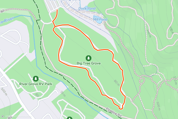
Henry Cowell Redwood Grove Loop
Henry Cowell Redwoods State Park is one of the best places to see huge trees. This natural area is near Santa Cruz, but remains a reasonable drive from most part of the Bay Area....
3


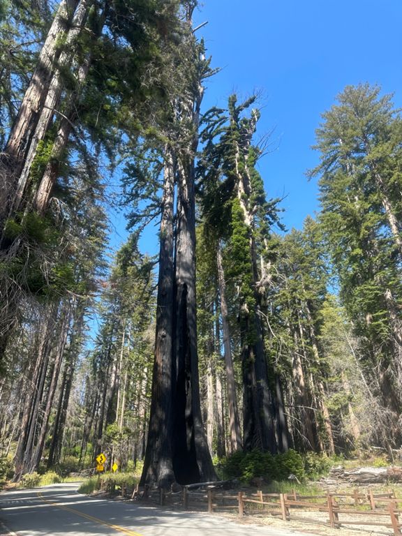

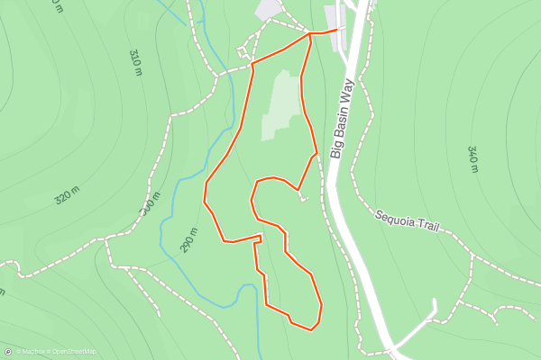
Big Basin Redwood Loop
Big Basin has the “largest continuous stand of ancient coast redwoods south of San Francisco,” according to the [state park’s website](https://www.parks.ca.gov/?page_id=540). Many trees here are nearly 300 feet tall and more than 1,000 years old....
4


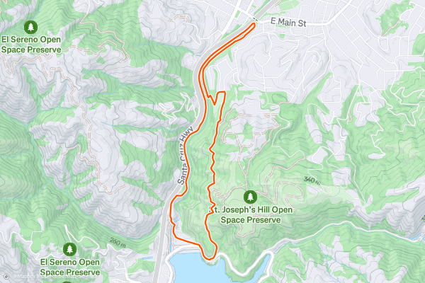
Jones Trail -> Los Gatos Creek Trail Loop
The Los Gatos Creek Trail is a lengthy paved greenway trail running through the San Jose metro area. However, the route shown here forms a more adventurous loop route by utilizing the Jones Trail....
5


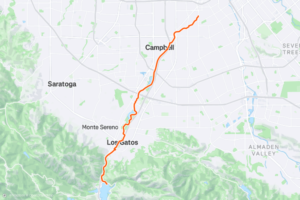
Los Gatos Creek Trail
The Los Gatos Creek Trail is a lengthy paved greenway trail running through the San Jose metro area. This trail is extremely popular with road cyclists (both recreationally and for commuting), but walkers/hikers, runners, skaters, and more all use this trail....
6


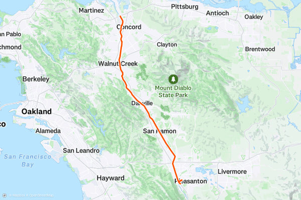
Iron Horse Trail
The Iron Horse Trail is a long-distance rails-to-trails route running from Mountain View to Pleasanton, California. This trail is extremely popular with road cyclists (both recreationally and for commuting), but walkers/hikers, runners, skaters, and more all use this trail....
7


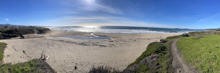
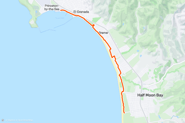
California Coastal Trail: Half Moon Bay State Beach
The California Coastal Trail is a stunning adventure that spans over 1200 miles along the Pacific coast. One of the most scenic sections of the trail is in Half Moon Bay State Beach, a four-mile stretch of protected beaches that offer diverse scenery and experiences for visitors of all ages and abilities....
8


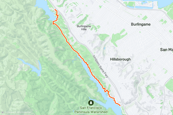
Sawyer Camp Trail
The Sawyer Camp Trail is a scenic and easy trail that follows the shoreline of Lower Crystal Springs Reservoir and San Andreas Lake in San Mateo County. This 6-mile paved trail is part of the Crystal Springs Regional Trail, and is popular for walking, running, biking, and birdwatching....
9


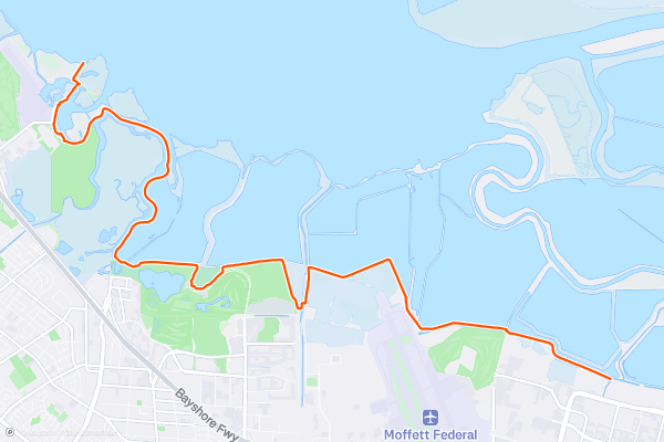
San Francisco Bay Trail: Sunnyvale to Sand Point
If you are looking for a long and flat hike, bike ride, or run with views of the bay and the mountains, the San Francisco Bay Trail: Sunnyvale to Sand Point is a great option....
10
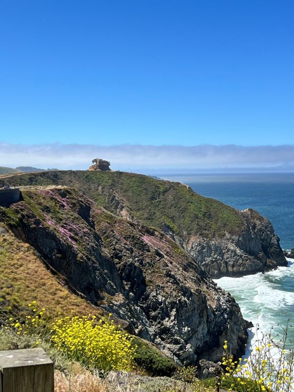


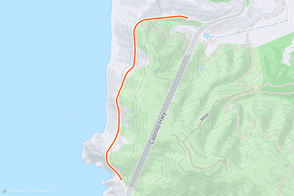
Devil's Slide Trail
Devil's Slide is a famous walk/hike because it provides some of the best ocean views anywhere in the Bay Area. Despite the intimidating name, Devil's Slide is actually a very easy, wide, paved path running for 1....
11


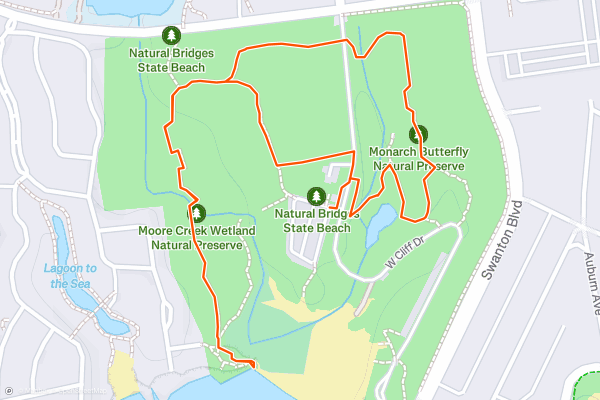
Monarch Butterfly Natural Preserve
The Monarch Butterfly Nature Preserve is a serene sanctuary in Pacific Grove, right on the coast of the eponymous ocean, midway along the Monterey Peninsula.
The preserve provides a vital habitat for the majestic monarch butterfly during its annual migration, and by doing this hike you'll witness the awe-inspiring sight of thousands of monarch butterflies clustering together in the shelter of the pine and eucalyptus trees....
12


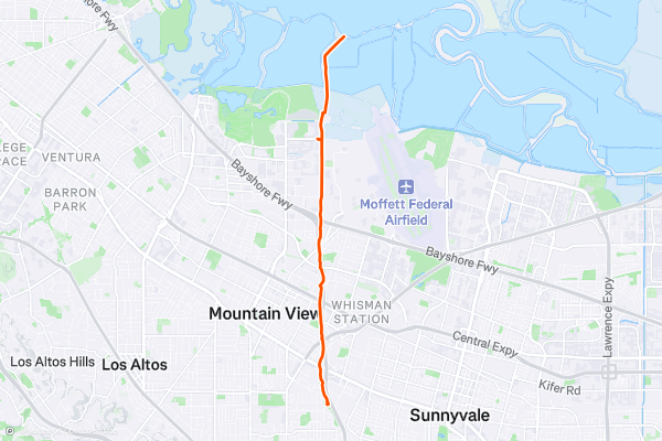
Stevens Creek Trail
The Stevens Creek Trail spans approximately 5 miles along the banks of Stevens Creek, with multiple access points throughout San Jose and neighboring communities. Popular trailheads include Shoreline Park, Baylands Park, and the NASA Ames Research Center, but regardless of where you enter, you can choose how far to hike and then just turn around and head back to the car....
13


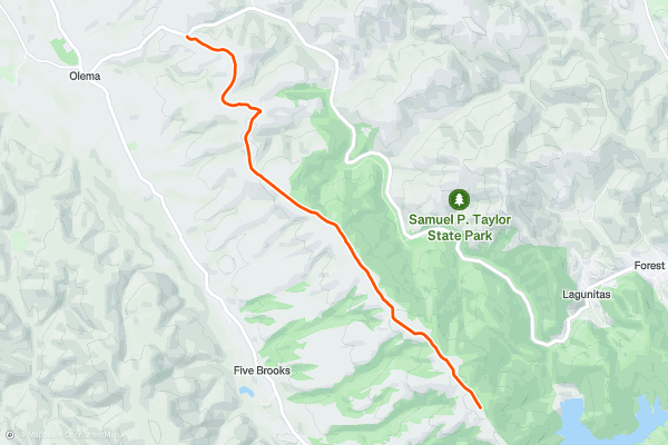
Bolinas Ridge Trail North
Bolinas Ridge is the east rim of the valley where the San Andreas Fault lies, in Golden Gate National Recreation Area. Though the fault itself is buried far beneath the forest soils of Olema Valley, the parallel ridgelines on either side are topographic evidence of the active rift zone below....
14



Heritage Grove Loop
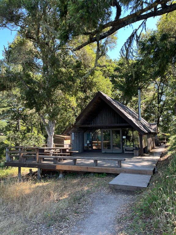
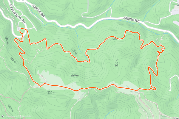
Sam McDonald Park, though not so well known, is home to some of the largest redwoods in the Santa Cruz Mountains. According to [RedwoodHikes.com](http://www.redwoodhikes.com/Portola/HeritageGrove.html), the stand called Heritage Grove is where you’ll find the biggest ones, along with a particularly lush understory and a babbling stream....
15


Montara Mountain from Gray Whale Cove
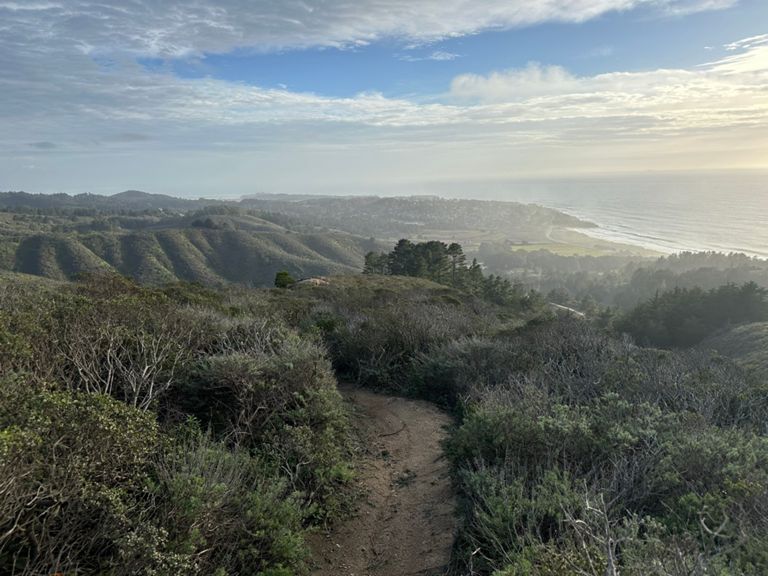
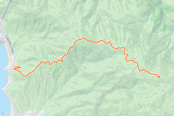
Gray Whale Cove State Beach is a popular hiking destination of its own, but the journey up Montara Mountain quickly leaves the sea-level trails for panoramic slopes above. This hike follows trails and a fire road to reach North Peak of Montara Mountain....
16


Mission Peak via the Hidden Valley Trail
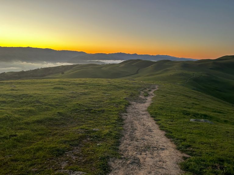
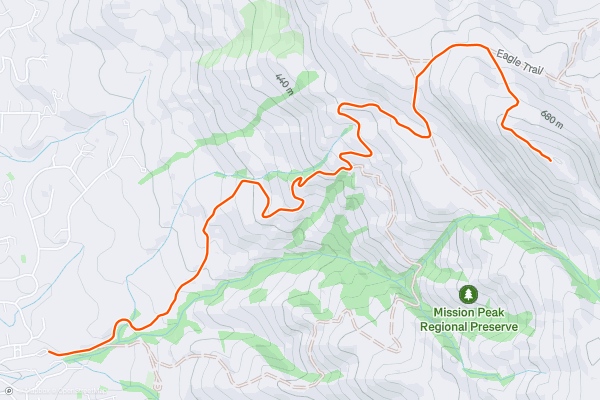
Mission Peak is one of the more prominent mountains of the Bay Area, defining the horizon east of South Bay. At just over 2,500 feet elevation, it sets the stage for hikes with pretty serious elevation gain....
17


Mori Ridge and Sweeney Ridge Trails
With a gorgeous trail leading up to a paved track, which in turn goes to the famous Point of San Francisco Bay Discovery, this is a classic and historical hike.
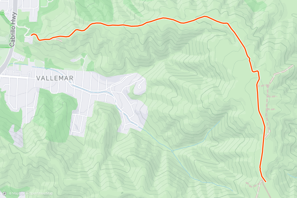
Start your day by parking just to the east of the Mori Point hiking area (which is well worth exploring if you want to extend this trip) and climb the Mori Trail as it climbs - steeply at times - to meet the Sweeney Ridge Trail....
18


Stanford Dish Loop
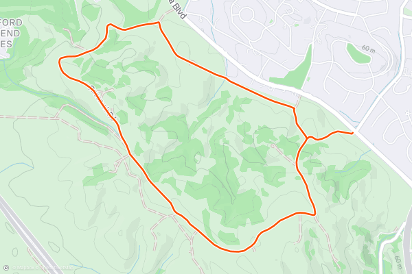
The Stanford Dish hike begins at the main entrance located off Stanford Avenue in Palo Alto, California. There's ample parking available, but it can fill up quickly, especially on weekends.
As you climb the trail, you'll be treated to panoramic views of the Stanford campus, Silicon Valley, and the surrounding foothills....
19


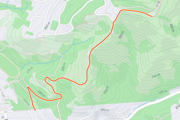
Stonewall Panoramic Trail
Nestled within the outskirts of San Francisco, the Stonewall Panoramic Trail offers a relatively easy hike that is suitable for all skill levels. The trailhead is convenient and can be accessed easily from nearby parking areas and public transportation....
20


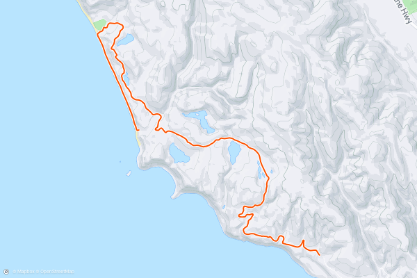
Alamere Falls via Palomarin Trailhead
The Bay Area is rich in natural scenery, but waterfalls are not a common sight. Alamere Falls is one of the few, and it shatters all expectations. To call it the most spectacular in the Bay Area would be an understatement, because It’s one of the best waterfalls you’ll see anywhere....
Page 1 of 2
Top regions for hiking trails on Strava
- Acadia National Park
- Alabama
- Alaska
- Albuquerque
- Alyeska
- Angeles National Forest
- Arizona
- Arkansas
- Austin, TX
- Bay Area
- Bend
- Big Sky
- Blue Mountain Ski Area
- Boston
- Boulder, CO
- Brevard
- Bridger Bowl
- Buena Vista
- California
- Cape Cod
- Colorado
- Connecticut
- Dahlonega
- Downieville
- Ellijay
- Flagstaff
- Florida
- Georgia
- Glacier National Park (USA)
- Grand Teton National Park
- Great Smoky Mountains National Park, TN
- Hawaii
- Hurricane
- Hyalite
- Idaho
- Illinois
- Indiana
- Kansas
- Kentucky
- Lake Tahoe
- Las Vegas, NV
- Los Angeles, CA
- Maine
- Mammoth Mountain
- Marin County
- Maryland
- Massachusetts
- Maui, HI
- Michigan
- Minnesota
- Missouri
- Moab
- Montana
- Mount Rainier National Park
- Mt. Rainier National Park, WA
- Nederland
- Nevada
- New Hampshire
- New Jersey
- New Mexico
- New York
- New York, NY
- North Bridgers
- North Carolina
- North Dakota
- Oakridge
- Ohio
- Oklahoma
- Oregon
- Park City and Deer Valley
- Pennsylvania
- Phoenix, AZ
- Placitas
- Portland, OR
- Roanoke
- Salida
- Salt Lake City, UT
- San Diego, CA
- San Francisco, CA
- Santa Fe, NM
- Santa Monica Mountains
- Seattle, WA
- Sedona, AZ
- Sisters
- South Carolina
- South Dakota
- South Lake Tahoe, CA
- Stowe
- Sugarbush
- Sun Valley
- Taos
- Telluride
- Tennessee
- Texas
- Timberline Lodge Summer
- Utah
- Vermont
- Virginia
- Washington
- West Virginia
- Wind River Range
- Winter Park
- Wisconsin
- Wyoming
- Yellowstone National Park
- Yosemite National Park, CA
- Zion National Park, UT