
The Best Hiking Trails in Stowe
Explore Hiking TrailsStowe, Vermont, USA
Top 9 hiking trails in Stowe
Page 1 of 1
1
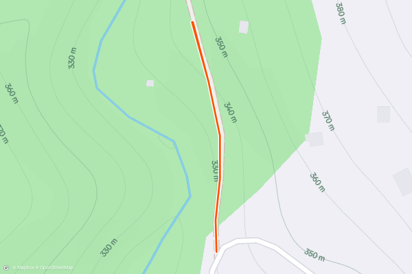
Mill Trail
2


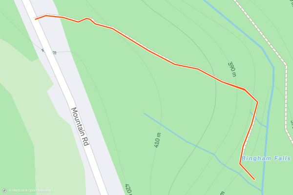
Bingham Falls
Bingham Falls is an easy and worthwhile hike in between the town of Stowe and Stowe Mountain Resort. It’s especially good on a warm summer day when you’ll enjoy the shade of the forest and the cold water of the creek....
3


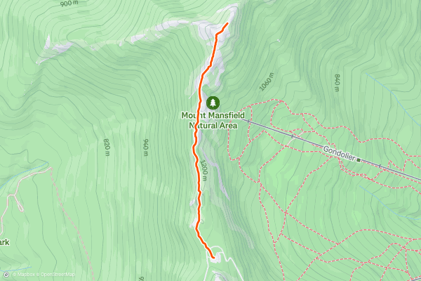
Mount Mansfield Summit from Auto Toll Road
Stowe, Vermont sits at the foot of the tallest mountain in the state–Mount Mansfield at 4,393 feet. On top of the mountain, the extreme climate creates a tundra-like landscape of stunted conifers and windswept rock....
4


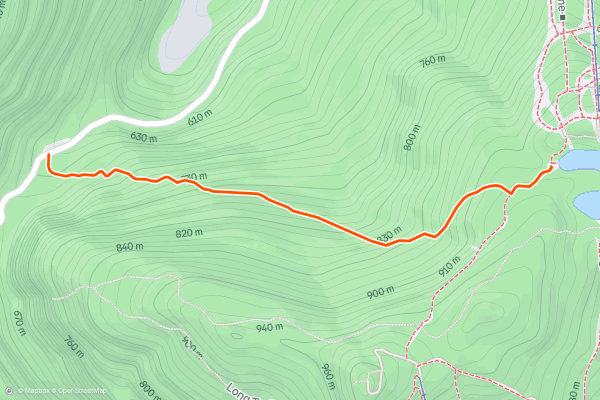
Sterling Pond Trail
Sterling Pond is one of the best moderate hikes at Smugglers Notch, and as such, it sees a lot of traffic. It’s a must-do if you are passing through the area in the summer, or if you spend some time at Stowe and want to check off the classic hikes....
5


Haselton Trail
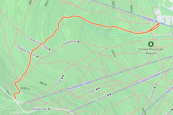
Haselton Trail is ideal for a casual summer or fall hike on Mount Mansfield. It begins near the base of the gondola at Stowe Mountain Resort. If you'd rather not ride the lift and exercise your legs instead, find this trailhead behind the Midway Lodge....
6



Long Trail: Winooski River to VT-15
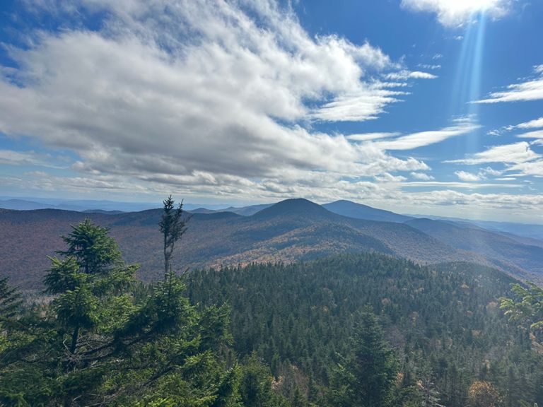
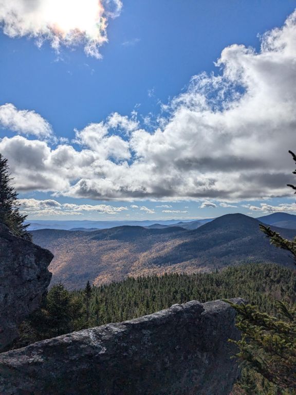
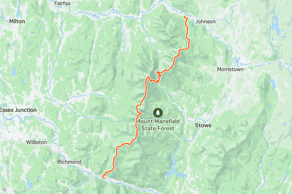
This segment of the Long Trail begins at the parking area under Interstate 89. To the south, the trail crosses a 224-foot-long footbridge that has been on the drawing board for nearly 100 years....
7


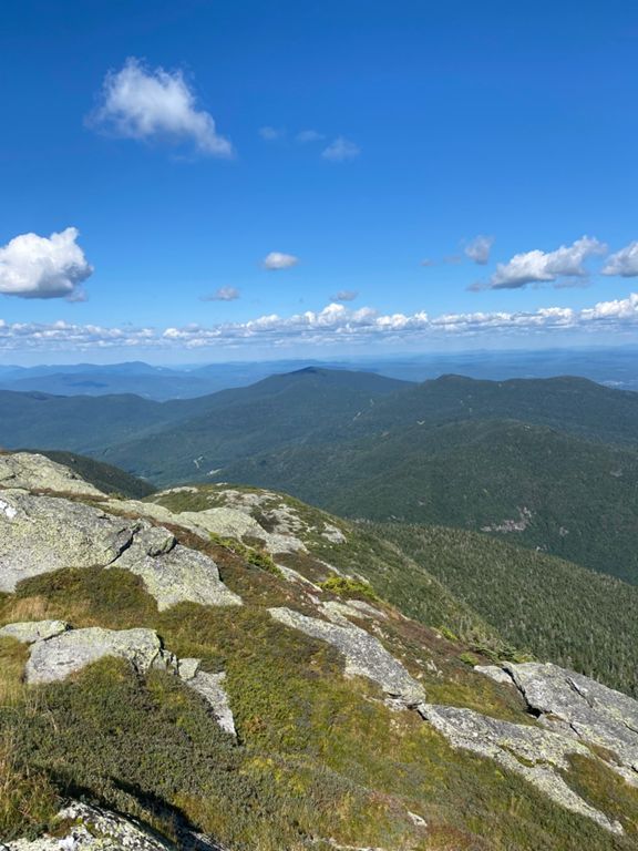

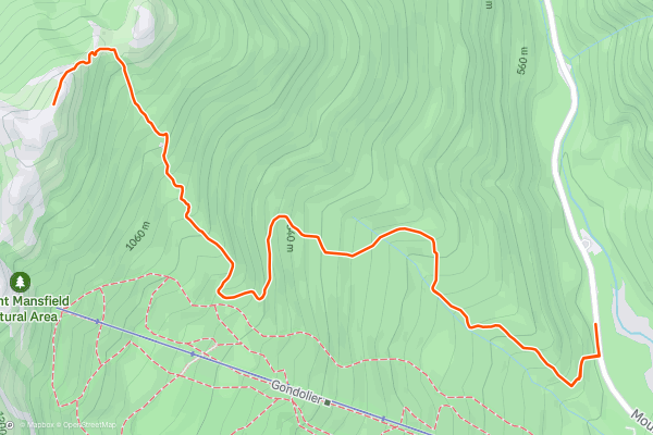
Long Trail South to Mansfield Summit
The [Long Trail](https://fatmap.com/guidebooks/150/travel-the-rugged-wild-northeast-on-the-long-trail) is Vermont’s famous trek across the Green Mountains, notable as the first long-distance hiking trail ever established in the United States. Of the many summits the Long Trail crosses, Mount Mansfield is the tallest and is Vermont’s state highpoint....
8


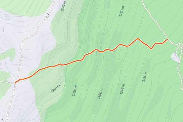
Profanity Trail (Bad Weather Bypass)
The Profanity Trail is one of Mount Mansfield's "bad weather bypass" routes. If conditions turn foul on the mountain's exposed ridgeline, you can use this trail to retreat into the relative safety of the forest at lower elevation....
9


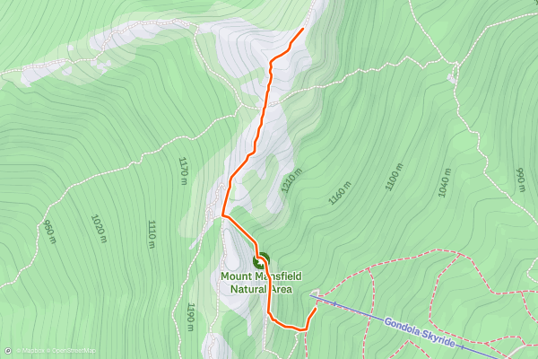
Cliff Trail
Of the many ways to reach the top of Mount Mansfield, Cliff Trail is the shortest, but that doesn’t mean it’s easy. [Stow Mountain Resort](https://www.stowe.com/explore-the-resort/activities-and-events/hiking.aspx) rates it as a “double black diamond” hiking trail....
Page 1 of 1
Top regions for hiking trails on Strava
- Acadia National Park
- Alabama
- Alaska
- Albuquerque
- Alyeska
- Angeles National Forest
- Arizona
- Arkansas
- Austin, TX
- Bay Area
- Bend
- Big Sky
- Blue Mountain Ski Area
- Boston
- Boulder, CO
- Brevard
- Bridger Bowl
- Buena Vista
- California
- Cape Cod
- Colorado
- Connecticut
- Dahlonega
- Downieville
- Ellijay
- Flagstaff
- Florida
- Georgia
- Glacier National Park (USA)
- Grand Teton National Park
- Great Smoky Mountains National Park, TN
- Hawaii
- Hurricane
- Hyalite
- Idaho
- Illinois
- Indiana
- Kansas
- Kentucky
- Lake Tahoe
- Las Vegas, NV
- Los Angeles, CA
- Maine
- Mammoth Mountain
- Marin County
- Maryland
- Massachusetts
- Maui, HI
- Michigan
- Minnesota
- Missouri
- Moab
- Montana
- Mount Rainier National Park
- Mt. Rainier National Park, WA
- Nederland
- Nevada
- New Hampshire
- New Jersey
- New Mexico
- New York
- New York, NY
- North Bridgers
- North Carolina
- North Dakota
- Oakridge
- Ohio
- Oklahoma
- Oregon
- Park City and Deer Valley
- Pennsylvania
- Phoenix, AZ
- Placitas
- Portland, OR
- Roanoke
- Salida
- Salt Lake City, UT
- San Diego, CA
- San Francisco, CA
- Santa Fe, NM
- Santa Monica Mountains
- Seattle, WA
- Sedona, AZ
- Sisters
- South Carolina
- South Dakota
- South Lake Tahoe, CA
- Stowe
- Sugarbush
- Sun Valley
- Taos
- Telluride
- Tennessee
- Texas
- Timberline Lodge Summer
- Utah
- Vermont
- Virginia
- Washington
- West Virginia
- Wind River Range
- Winter Park
- Wisconsin
- Wyoming
- Yellowstone National Park
- Yosemite National Park, CA
- Zion National Park, UT