
The Best Hiking Trails in Texas
Explore Hiking TrailsTop 67 hiking trails in Texas
Page 1 of 4
1


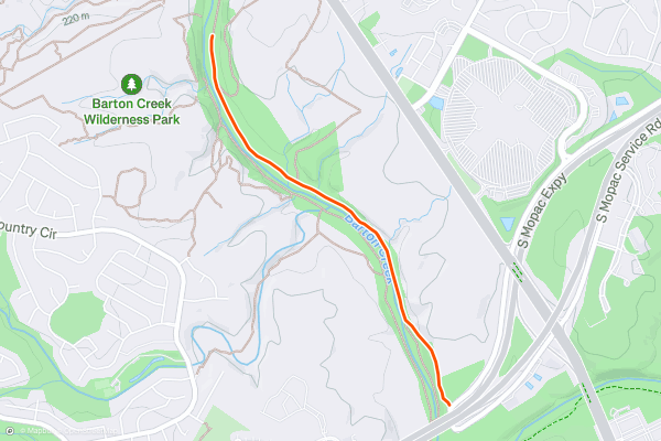
Barton Creek Greenbelt Trail to Twin Falls & Sculpture Falls
The Barton Creek greenbelt is a great place for a walk in the woods. This particular hike, which begins at a trailhead along the South Mopac Service Road, takes you along the creek bed past two waterfalls. When the creek is flowing, so are the falls, but in the dryer months there may not be much of a cascade. This trail follows an out and back route and is suitable for hikers of all abilities. This is one of the most popular hikes among Strava members in Austin Texas.
2


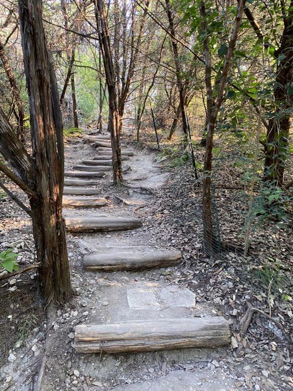
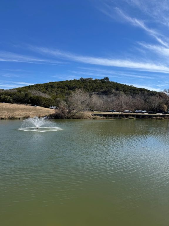
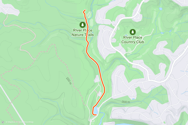
River Place Nature Trail
This riverside hiking area has mini waterfalls and a fun boardwalk and is perfect for your next hike. The Nature Preserve at River Place has a number of hiking and trail running trails to choose from. This specific route uses the Panther Hollow Trail and Canyon trail then follows an out and back route. Most consider this a moderate hike, but you can lengthen or shorten it as you see fit. The park has a north entrance, which is approximately 2.8 miles from the trailhead where this trail begins. This is a popular hiking area with Strava members and there are a number of options once you hit the trail! Don’t be afraid to explore.
3

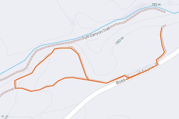
Tuff Canyon Trail
Tuff Canyon is one of the classic short hikes in Big Bend National Park, and despite its name, it's actually quite easy! There are several views along the rim of the canyon, or you could venture further in along a spur trail for spectacular close-up views where the lava rock walls seamlessly transition into the canyon floor....
4
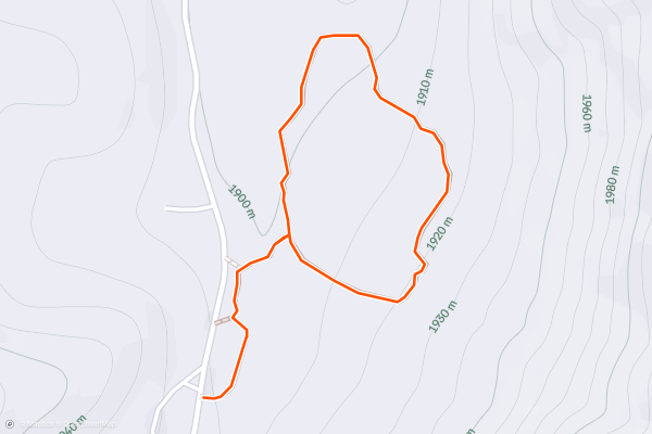
Indian Meadow Nature Trail
This easy hike is your opportunity to explore "the natural and cultural history" of Dog Canyon in the northern reaches of Guadalupe Mountains National Park. Less than one mile in length, this short walk can be completed in under one hour, even at a relaxed and leisurely pace....
5
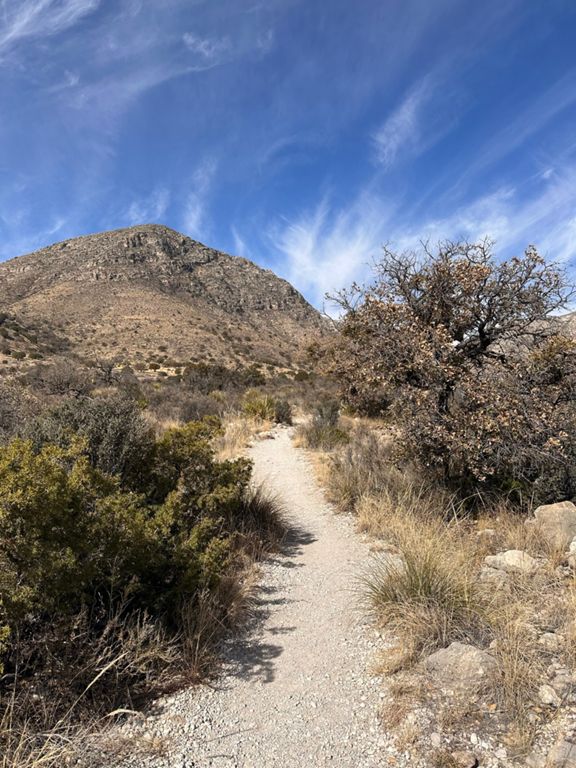
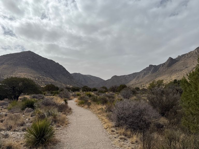

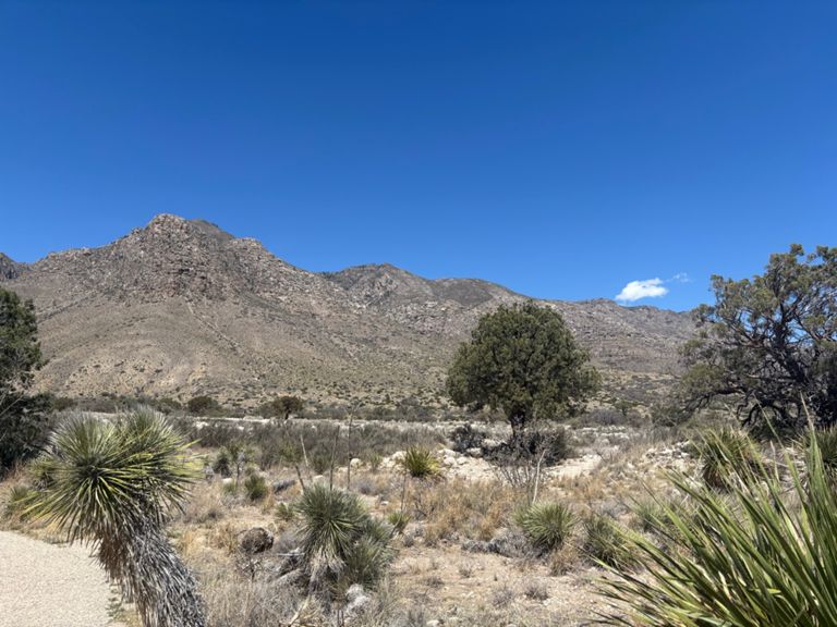
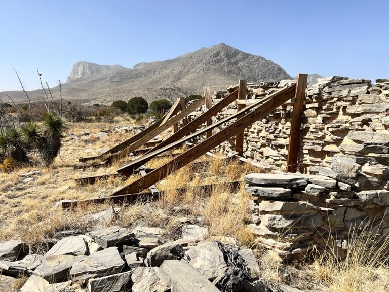
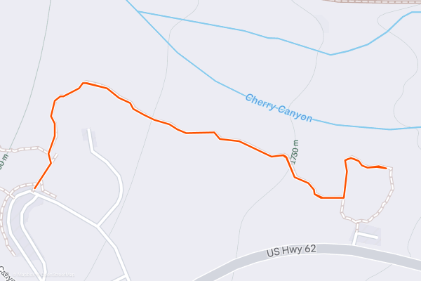
Pinery Trail
In contrast to the abundance of backcountry trail in the Guadalupe Mountains, this .75-mile hike is paved, wheelchair accessible, and even dog friendly. The traditional way to hike this trail is to begin at the park headquarters below the Pine Spring Campground, but if you're running short on time, you could park at a small gravel lot on US-62, less than 1/4-mile east from the main entrance....
6


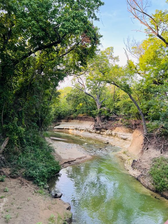

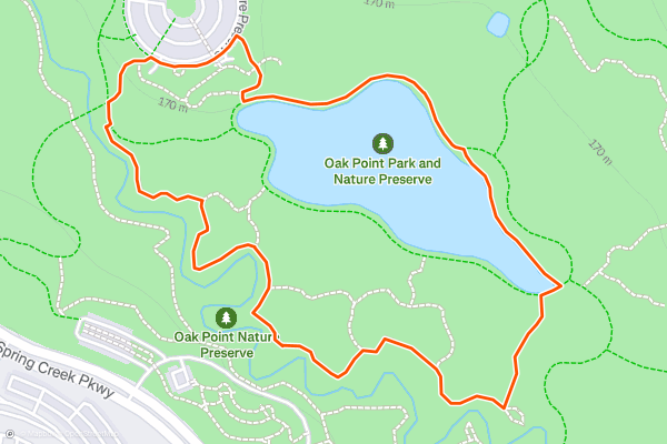
Oak Point Nature Preserve
Oak Point Park and Nature Preserve is one of the best areas to head for relaxing and family-friendly hike in eastern Plano. An excellent alternative to [Arbor Hills](https://fatmap.com/routeid/2861187/arbor-hills) on the other side of town, Oak Point spans 800 acres and includes 8 miles of paved trails and 5 miles of mellow singletrack....
7
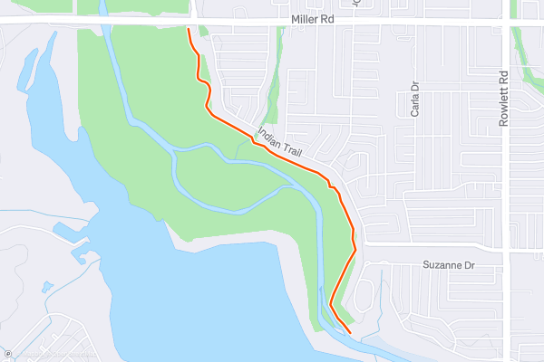
Rowlett Nature Trail
The Rowlett Nature Trail off of Miller Road is an unsuspecting yet scenic area to enjoy a hike in eastern Dallas County. Just 1.3-miles each way, the trail sees little use compared to nearby Rowlett Creek Preserve, which tends to be far more popular due to the extensive mountain biking trails developed by DORBA....
8


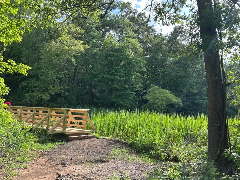
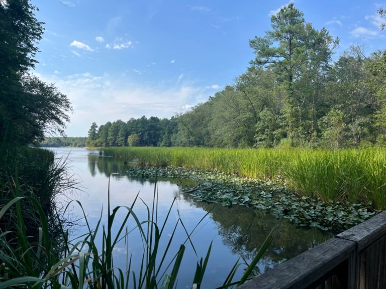
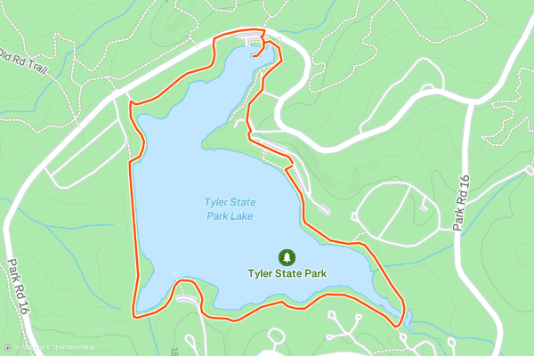
Tyler State Park: Lakeshore Trail
Tyler State Park is a small jewel of natural beauty located just north of the ugly urban sprawl of the city of Tyler, Texas. Unfortunately, the drone of nearby Interstate 20 provides a constant urban soundtrack to the natural beauty of Tyler State Park, but if you can manage to tune it out, you can still enjoy the serenity found within the park's protective borders....
9


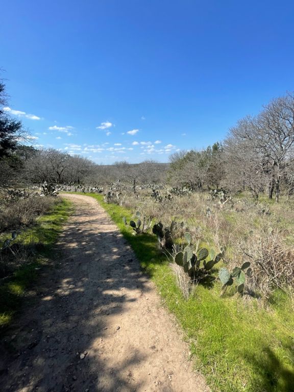

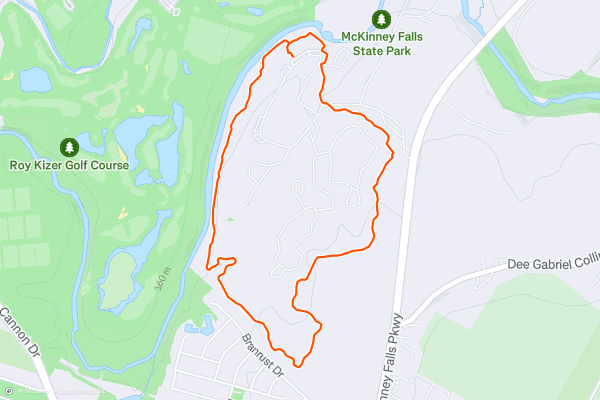
Onion Creek Trail
The Onion Creek Trail is a paved 3-mile loop through McKinney Falls State Park that provides a scenic jaunt through this beautiful forest found inside Austin's city limits. The smooth path is perfect for all manner of bicycles, from road bikes to cruisers to mountain bikes, and of course, hikers can enjoy it as well....
10


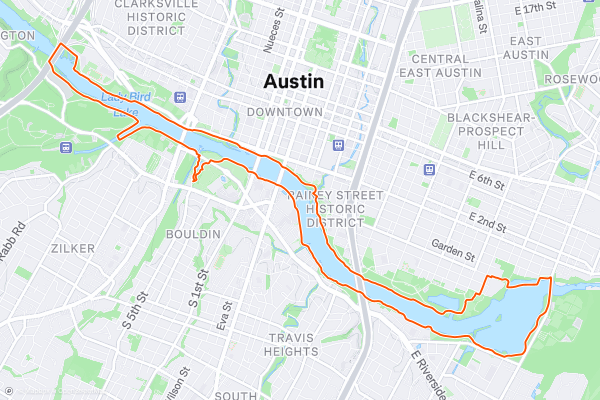
Lady Bird Lake Loop
Lady Bird Lake is a dammed-up reservoir in the Colorado River, where it flows through downtown Austin, Texas. While originally created "in 1960 as a cooling pond for a new city power plant," the 416-acre lake is now a hotbed of recreation in the heart of the city....
11



Shoal Creek Greenbelt
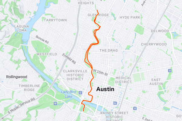
The Shoal Creek Greenbelt is a beautiful stretch of greenway trails, parks, and non-motorized paths stretching from Lady Bird Lake to 38th Street. The greenway and bike path system running through Austin is truly spectacular, and Shoal Creek is one of its crown jewels....
12



Barton Creek Greenbelt
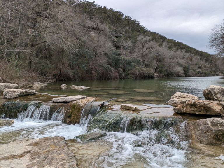
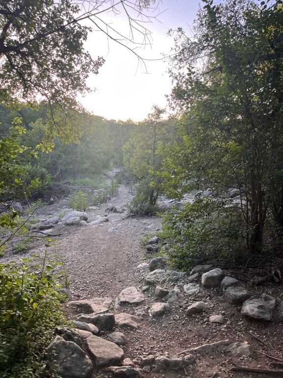
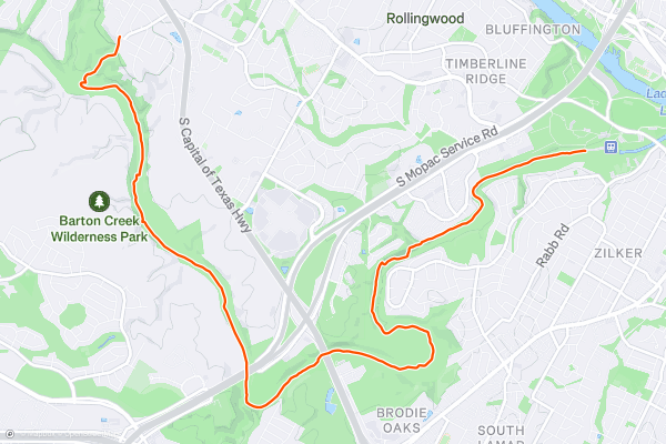
The Barton Creek Greenbelt is a paved greenway trail that runs about 7 miles one way through a beautiful park in Austin, Texas. While this greenway trail is itself an attraction and a great bike ride, hike, or run, it also provides access to innumerable adventures within the Greenbelt park....
13


Southern Walnut Creek Greenbelt
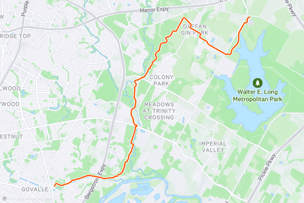
The Southern Walnut Creek Greenbelt Trail is a popular paved path running through urban Austin, Texas. The first section of Southern Walnut Creek was one of the first urban greenbelt trails in Austin, but the bike path network in the city has since expanded dramatically....
14


Northern Walnut Creek Greenbelt
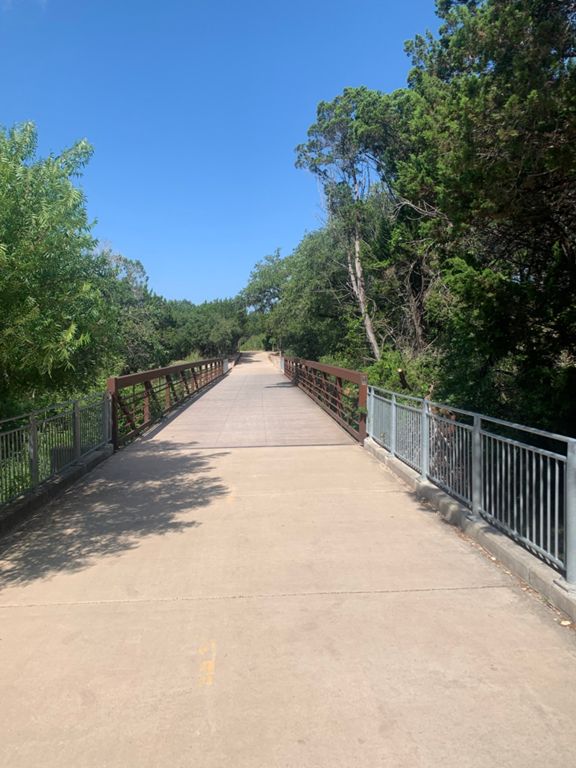
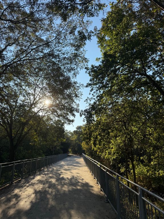
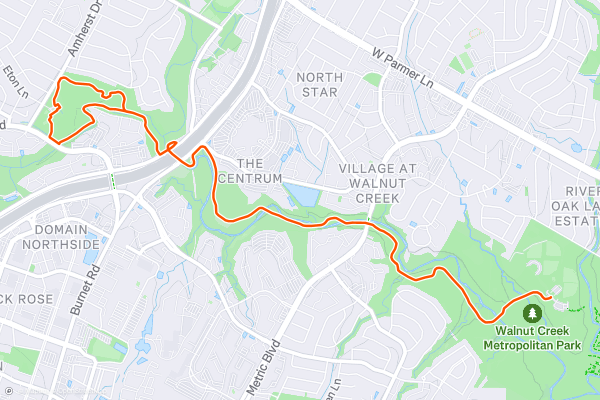
The Northern Walnut Creek Greenbelt Trail is a short but scenic route north of downtown Austin, Texas. The route shown here is a 6.8-mile lollipop, which can be shortened if you so desire....
15


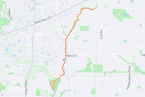
Legacy Trail
The Legacy Trail is a paved greenway trail in Plano, Texas, just north of Dallas. This scenic path runs through a greenbelt along White Rock Creek, providing a welcome dose of nature in an otherwise suburban landscape....
16


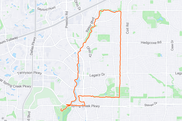
Legacy Trail -> Preston Ridge Trail -> Bluebonnet Trail Loop
The Legacy Trail is a paved greenway trail in Plano, Texas, just north of Dallas. This scenic path runs through a greenbelt along White Rock Creek, providing a welcome dose of nature in an otherwise suburban landscape....
17
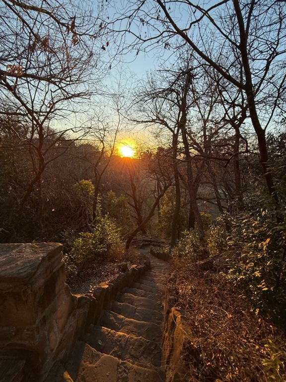
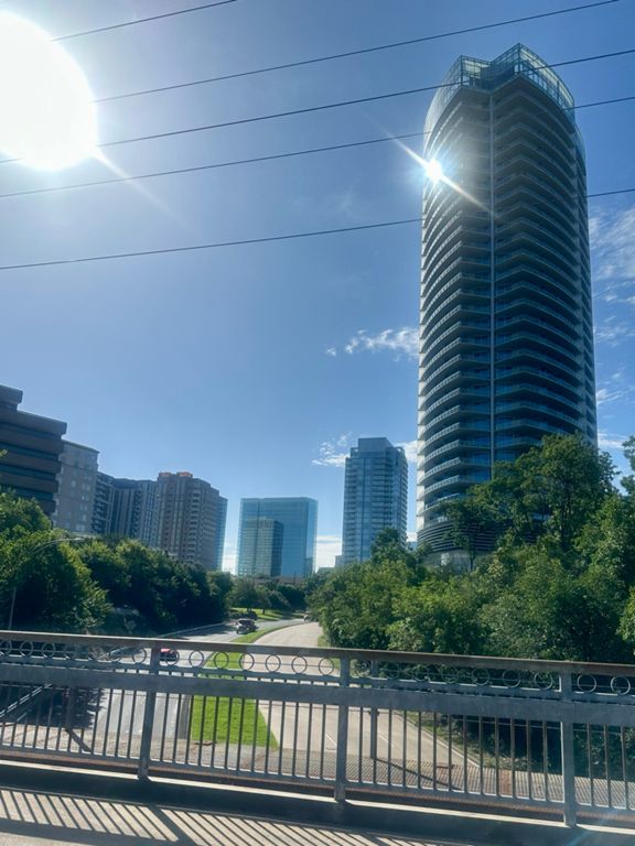


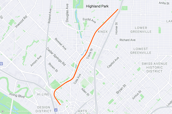
Katy Trail
The Katy Trail was once an abandoned railroad line, but it has since been transformed into a beautiful greenway corridor running through the heart of Dallas, Texas! This beautiful pathway and park system is now one of the most popular destinations in Dallas and is constantly teeming with trail users....
18
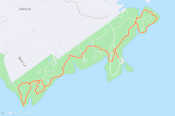
Lake Somerville Birch Creek Unit
The Birch Creek Unit of Lake Somerville State Park provides a gorgeous getaway on the shores of an expansive lake. This unit of the state park offers extensive camping opportunities, and conveniently enough, you can access a great trail system directly from camp....
19
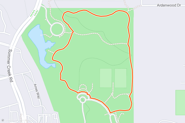
Chisholm Park Trail
Chisholm Park in Fort Worth offers something for everyone, whether you're seeking outdoor recreation, family-friendly fun, or simply a place to unwind and enjoy nature.
Situated in southwest Fort Worth, the park spans over 50 acres of green space, providing a peaceful retreat from the hustle and bustle of city life....
20
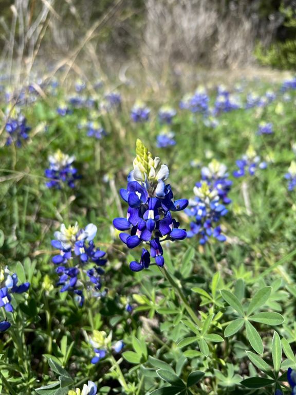

Turkey Creek Trail
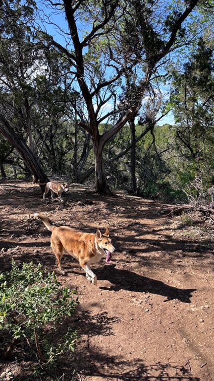
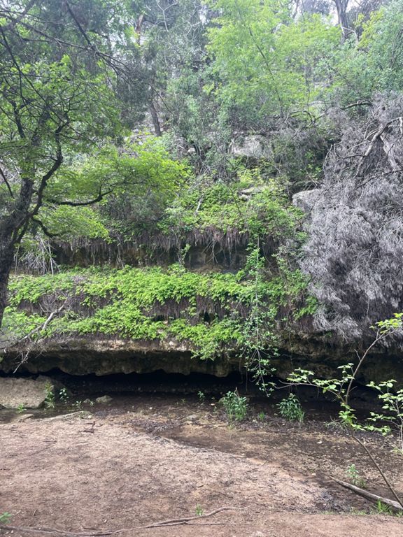
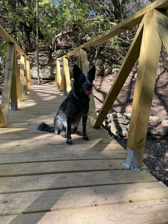
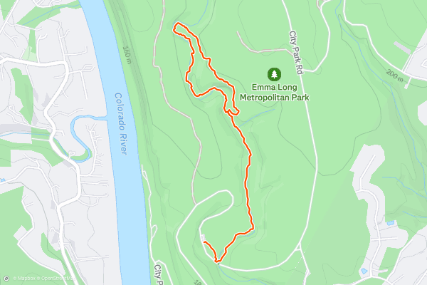
The Turkey Creek Trail is a peaceful hiking loop along a creek bed in Emma Long Metropolitan Park. The trailhead can be found at the parking lot on City Park Road at the southern side of the park. This trail follows a lollipop route with an out and back section leading to a loop. Most hikers take the loop in the counterclockwise direction and come back along the shores of turkey creek. This is considered an easy hike and is a popular hiking route with Strava members in the Austin area.
Page 1 of 4
Top regions for hiking trails on Strava
- Acadia National Park
- Alabama
- Alaska
- Albuquerque
- Alyeska
- Angeles National Forest
- Arizona
- Arkansas
- Austin, TX
- Bay Area
- Bend
- Big Sky
- Blue Mountain Ski Area
- Boston
- Boulder, CO
- Brevard
- Bridger Bowl
- Buena Vista
- California
- Cape Cod
- Colorado
- Connecticut
- Dahlonega
- Downieville
- Ellijay
- Flagstaff
- Florida
- Georgia
- Glacier National Park (USA)
- Grand Teton National Park
- Great Smoky Mountains National Park, TN
- Hawaii
- Hurricane
- Hyalite
- Idaho
- Illinois
- Indiana
- Kansas
- Kentucky
- Lake Tahoe
- Las Vegas, NV
- Los Angeles, CA
- Maine
- Mammoth Mountain
- Marin County
- Maryland
- Massachusetts
- Maui, HI
- Michigan
- Minnesota
- Missouri
- Moab
- Montana
- Mount Rainier National Park
- Mt. Rainier National Park, WA
- Nederland
- Nevada
- New Hampshire
- New Jersey
- New Mexico
- New York
- New York, NY
- North Bridgers
- North Carolina
- North Dakota
- Oakridge
- Ohio
- Oklahoma
- Oregon
- Park City and Deer Valley
- Pennsylvania
- Phoenix, AZ
- Placitas
- Portland, OR
- Roanoke
- Salida
- Salt Lake City, UT
- San Diego, CA
- San Francisco, CA
- Santa Fe, NM
- Santa Monica Mountains
- Seattle, WA
- Sedona, AZ
- Sisters
- South Carolina
- South Dakota
- South Lake Tahoe, CA
- Stowe
- Sugarbush
- Sun Valley
- Taos
- Telluride
- Tennessee
- Texas
- Timberline Lodge Summer
- Utah
- Vermont
- Virginia
- Washington
- West Virginia
- Wind River Range
- Winter Park
- Wisconsin
- Wyoming
- Yellowstone National Park
- Yosemite National Park, CA
- Zion National Park, UT