
The Best Hiking Trails in Wisconsin
Explore Hiking TrailsTop 13 hiking trails in Wisconsin
Page 1 of 1
1



Seven Bridges
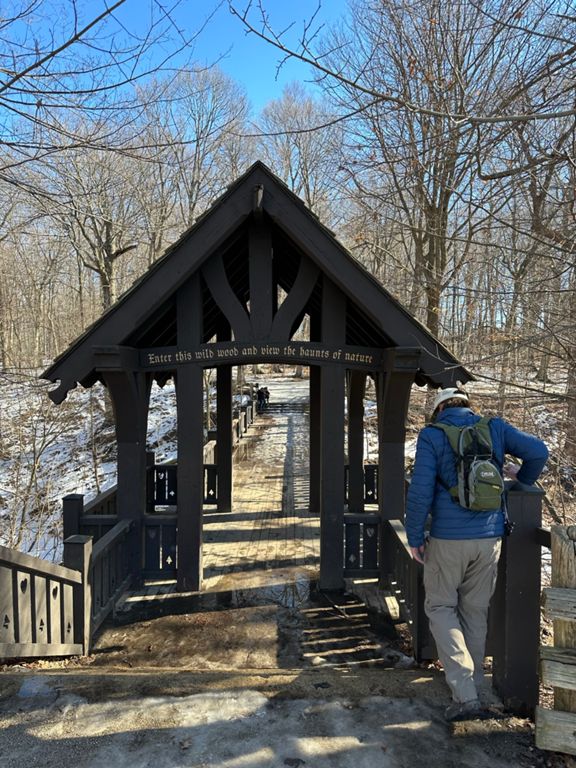
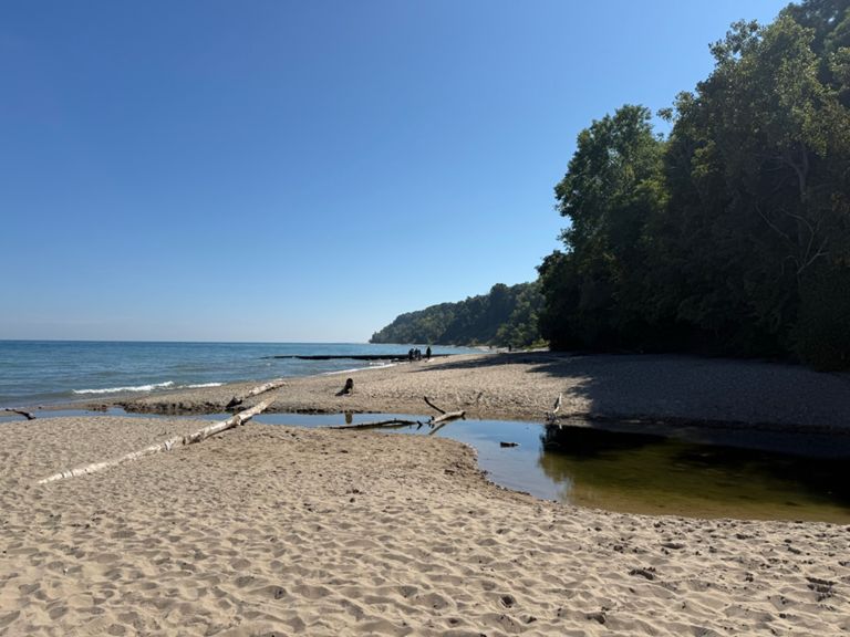
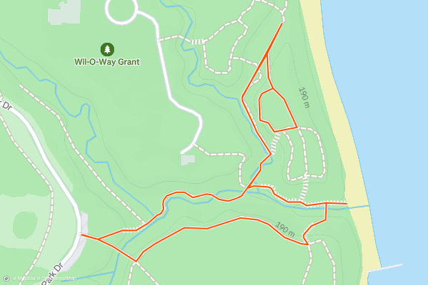
The Seven Bridges trail is a short hike down to the shores of Lake Michigan, and the direct route is even shorter than the route mapped here. And yet, it is still widely regarded as one of the best hikes in Milwaukee!
The trail begins by passing over a beautiful wooden bridge, with an enchanting entryway that harkens back to the old world in Europe....
2



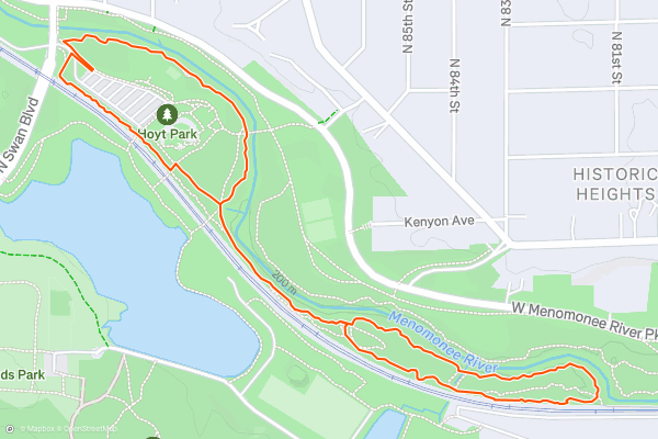
Hoyt Park
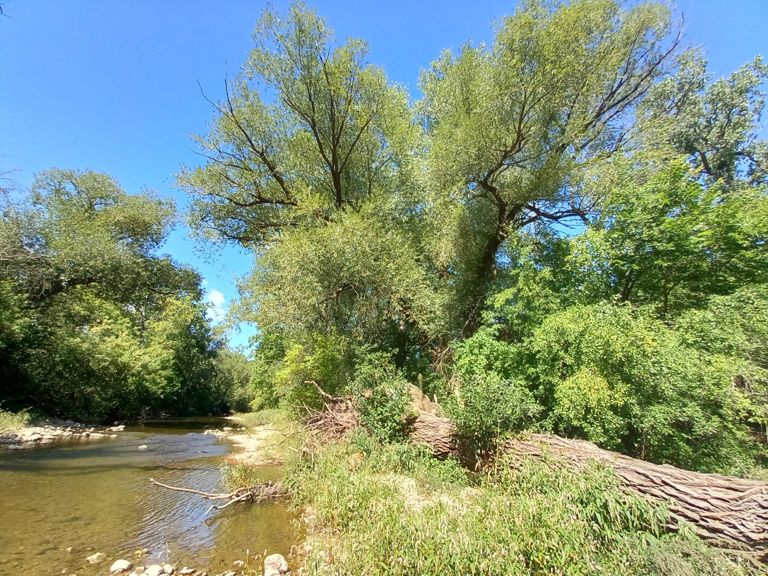
For a quick hiking hit on the western side of the city of Milwaukee, consider Hoyt Park. With easy access, relatively safe and secure parking, and well-built trails that loop around the park, Hoyt offers a very achievable escape from the press of the city on beautiful, narrow singletrack....
3


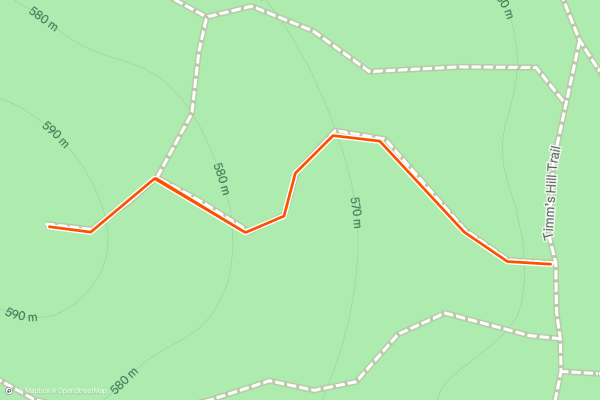
Timms Hill
Timms Hill is the highest point in the state of Wisconsin. This low hill is located in the highest-elevation area of the state, and while it might be the state's high point, it doesn't have a lot of vertical relief above the surrounding landscape....
4

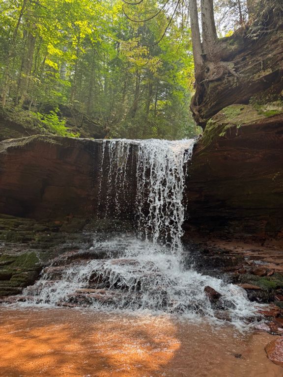

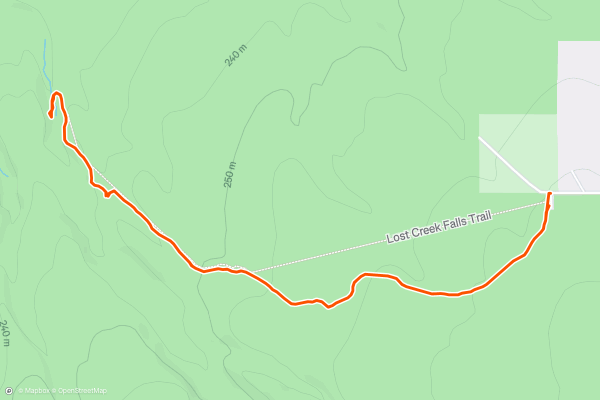
Lost Creek Falls
This short hike to Lost Creek Falls provides an isolated jaunt through a beautiful swath of the northwoods. This trail gains and loses very minimal elevation along its length, allowing you to quickly knock out the miles if you're fit....
5

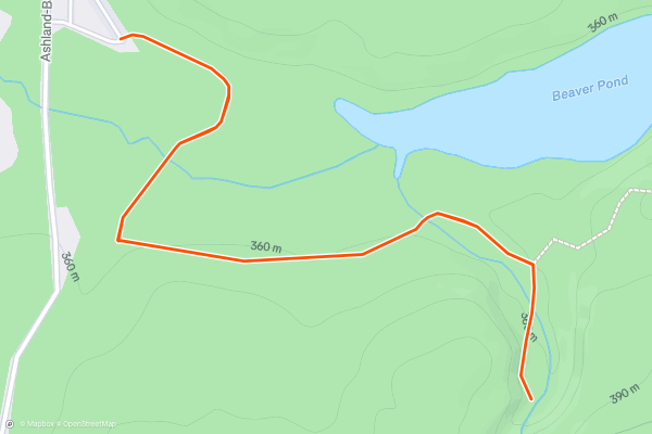
Morgan Falls
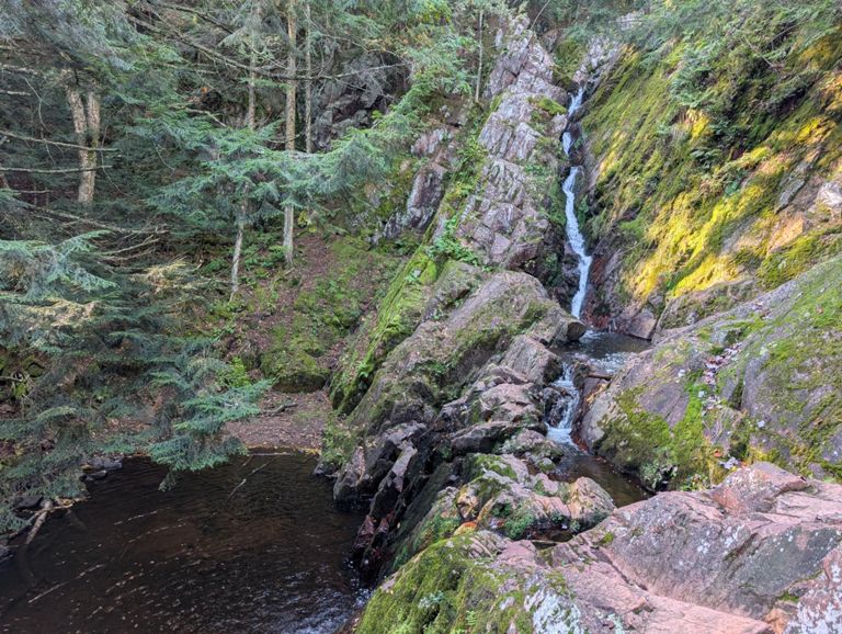
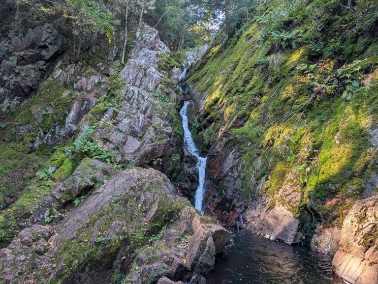
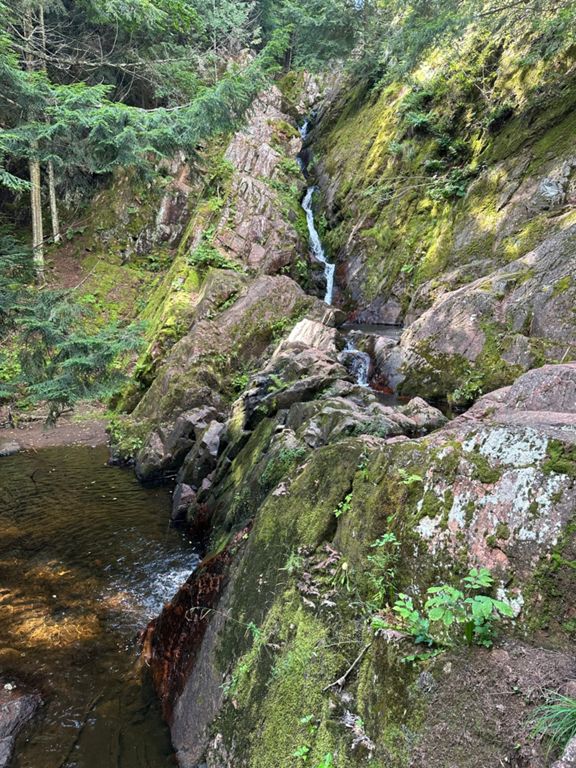
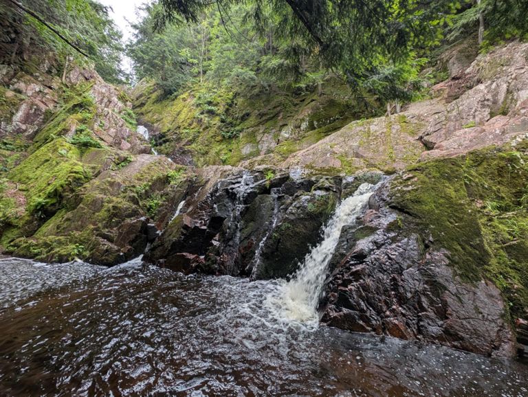
Morgan Falls is an absolutely beautiful hike in the Chequamegon National Forest that also happens to be fully wheelchair-accessible. This 1.5-mile round-trip hike traverses a flat, well-developed gravel trail that crosses a couple of impressive bridges and a few boardwalks....
6
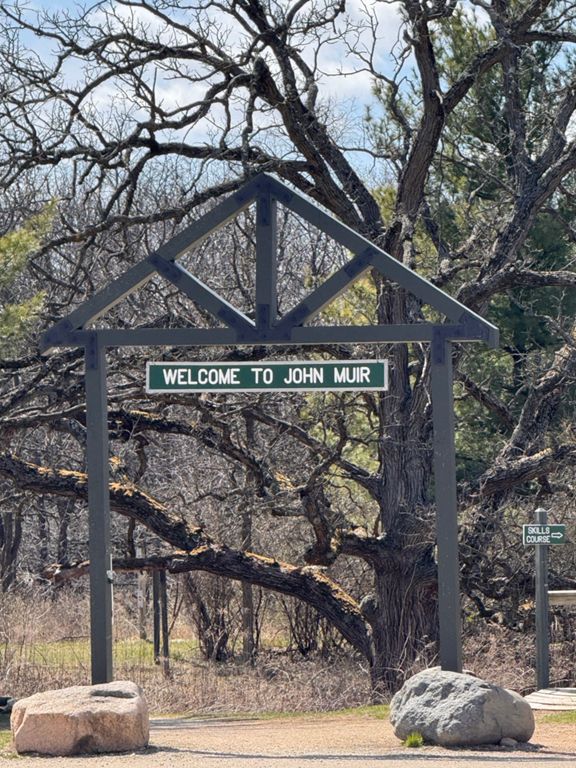
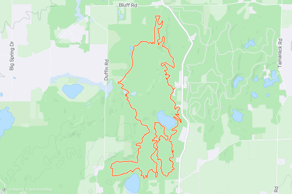
John Muir Loop
The Southern Unit of Wisconsin's Kettle Moraine State Forest is home to an extensive trail system known alternatively as the "John Muir Trails" or "Emma Carlin." The two names come from the respective trailheads and trail loops at either end of the trail network....
7

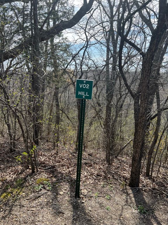


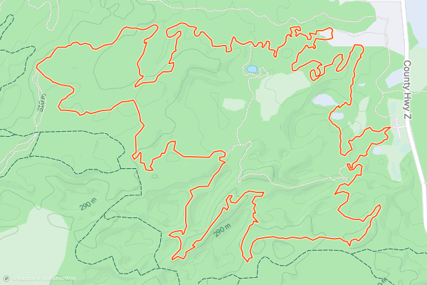
Emma Carlin Green Loop
The Southern Unit of Wisconsin's Kettle Moraine State Forest is home to an extensive trail system known alternatively as the "John Muir Trails" or "Emma Carlin." The two names come from the respective trailheads and trail loops at either end of the trail network....
8
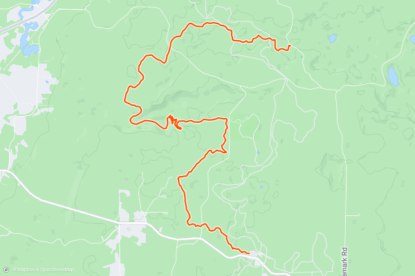
Seeley Pass
"The CAMBA system has become recognized as the Singletrack Capital of the Midwest, with the most extensive system of interconnected singletrack east of the Mississippi,” [according to the CAMBA Trail Guide](https://www....
9


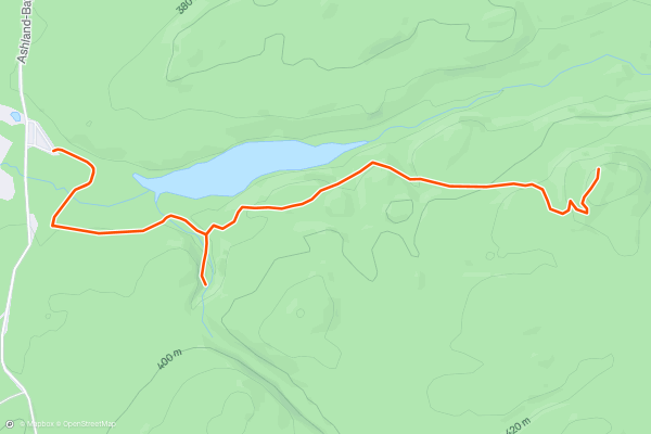
Saint Peters Dome
Saint Peters Dome is one of the most popular short hikes in Northern Wisconsin. This brief but beautiful jaunt through the forest serves up a rushing waterfall, babbling brooks, a beautiful second-growth forest, and finally, an incredible overlook of the Chequamegon National Forest....
10


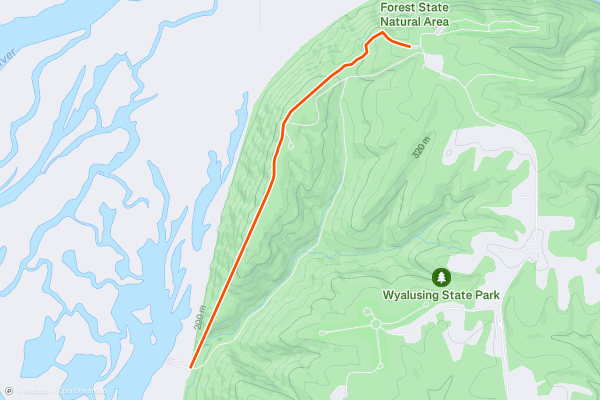
Sentinel Ridge Trail
Wyalusing State Park “is a 2,628-acre Wisconsin state park at the confluence of the Mississippi and Wisconsin rivers,” [according to Wikipedia](https://en.wikipedia.org/wiki/Wyalusing_State_Park). One of Wisconsin’s oldest parks, Wyalusing is home to Indian burial mounds, a canoe trail in the river, and beautiful hiking trails along the bluffs....
11



Meyer's Beach Sea Cave Trail
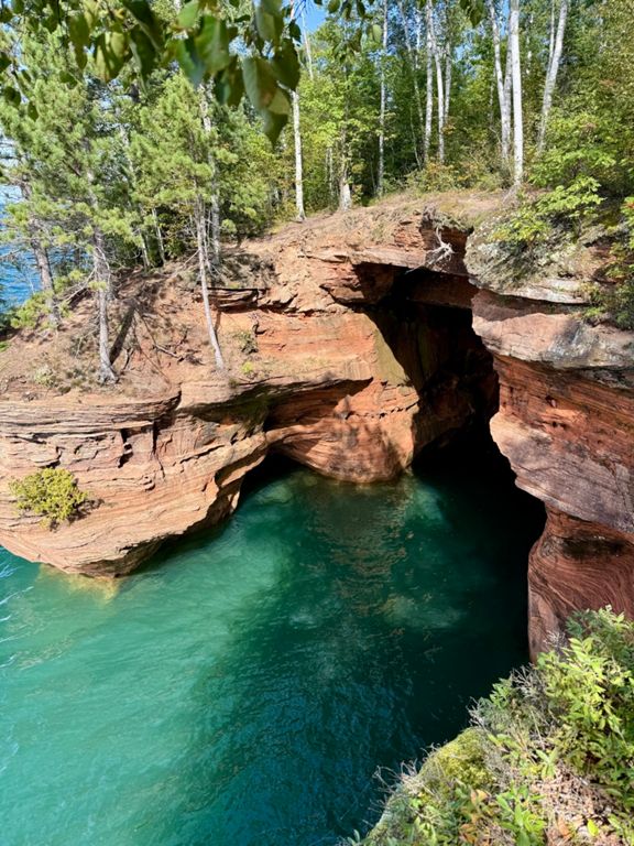
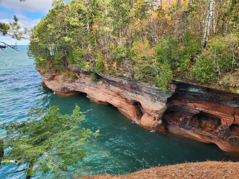
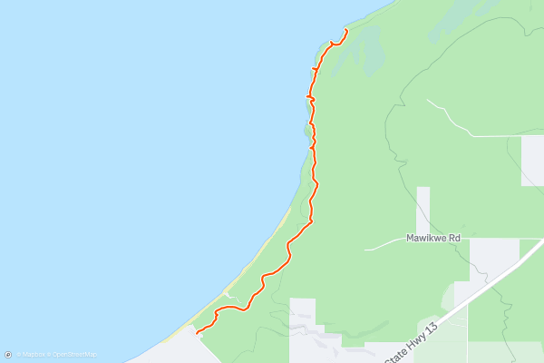
The Apostles Island National Lake Shore protects a beautiful array of islands, shoreline, and pristine water just off the Wisconsin mainland in Lake Superior. "Centuries of wave action, freezing, and thawing have sculpted shorelines throughout Apostle Islands National Lakeshore," [according to the NPS](https://www....
12
Wildcat Mound
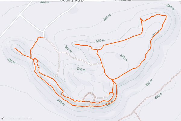
The glacier-scraped landscape of Central Wisconsin is almost pancake flat, except for where it is interrupted by isolated hills that the glaciers somehow didn't completely flatten. In Clark County, the names assigned to these hills are much more honest than you'll find in other areas of the state....
13
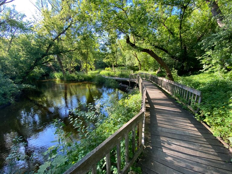
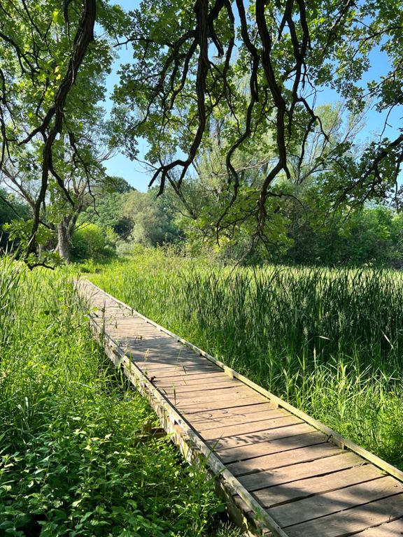
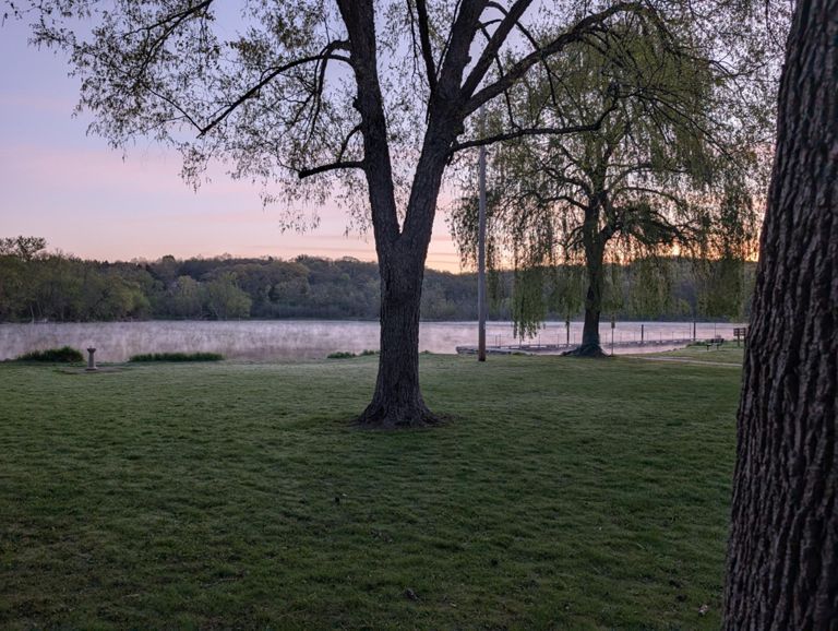
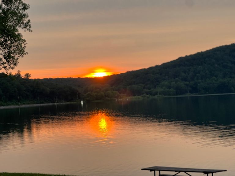

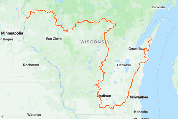
The Ice Age Trail
One of only 11 National Scenic Trails in the country, this 1000+ mile hike leads you through everything from city centres to forests, prairies and lake fronts.
Doing the whole Ice Age Trail in one go is a huge undertaking, but the number of towns which dot the route make it slightly less daunting and logistically easier than many other big thru-hikes....
Page 1 of 1
Top regions for hiking trails on Strava
- Acadia National Park
- Alabama
- Alaska
- Albuquerque
- Alyeska
- Angeles National Forest
- Arizona
- Arkansas
- Austin, TX
- Bay Area
- Bend
- Big Sky
- Blue Mountain Ski Area
- Boston
- Boulder, CO
- Brevard
- Bridger Bowl
- Buena Vista
- California
- Cape Cod
- Colorado
- Connecticut
- Dahlonega
- Downieville
- Ellijay
- Flagstaff
- Florida
- Georgia
- Glacier National Park (USA)
- Grand Teton National Park
- Great Smoky Mountains National Park, TN
- Hawaii
- Hurricane
- Hyalite
- Idaho
- Illinois
- Indiana
- Kansas
- Kentucky
- Lake Tahoe
- Las Vegas, NV
- Los Angeles, CA
- Maine
- Mammoth Mountain
- Marin County
- Maryland
- Massachusetts
- Maui, HI
- Michigan
- Minnesota
- Missouri
- Moab
- Montana
- Mount Rainier National Park
- Mt. Rainier National Park, WA
- Nederland
- Nevada
- New Hampshire
- New Jersey
- New Mexico
- New York
- New York, NY
- North Bridgers
- North Carolina
- North Dakota
- Oakridge
- Ohio
- Oklahoma
- Oregon
- Park City and Deer Valley
- Pennsylvania
- Phoenix, AZ
- Placitas
- Portland, OR
- Roanoke
- Salida
- Salt Lake City, UT
- San Diego, CA
- San Francisco, CA
- Santa Fe, NM
- Santa Monica Mountains
- Seattle, WA
- Sedona, AZ
- Sisters
- South Carolina
- South Dakota
- South Lake Tahoe, CA
- Stowe
- Sugarbush
- Sun Valley
- Taos
- Telluride
- Tennessee
- Texas
- Timberline Lodge Summer
- Utah
- Vermont
- Virginia
- Washington
- West Virginia
- Wind River Range
- Winter Park
- Wisconsin
- Wyoming
- Yellowstone National Park
- Yosemite National Park, CA
- Zion National Park, UT