
The Best Hiking Trails in Oregon
Explore Hiking TrailsTop 114 hiking trails in Oregon
Page 1 of 6
1


Macleay Trails to Pittock Mansion
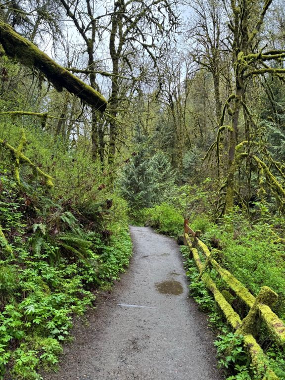
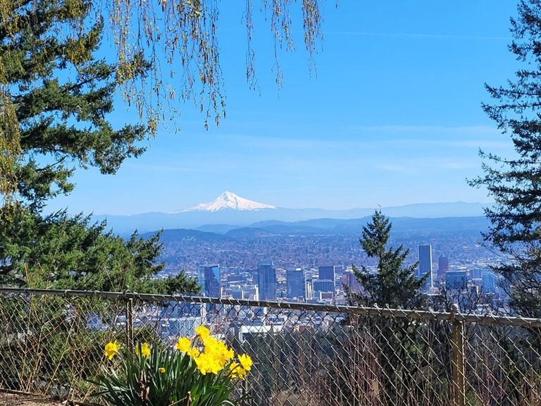
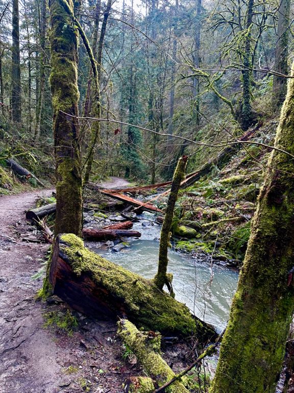
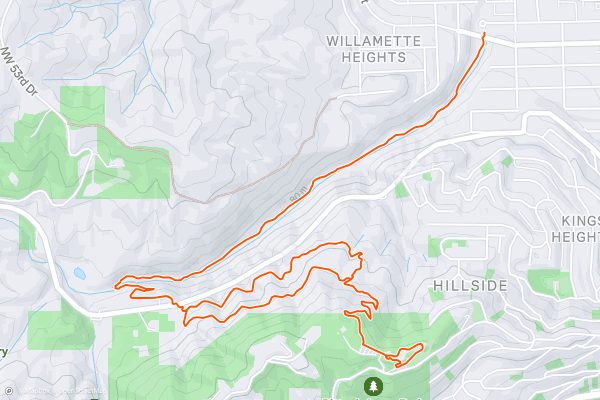
The Macleay Trails to Pittock Mansion hike takes you from the Northwest District of Portland to a historic Mansion with views of the city and Mount Hood. There are a number of trails to choose from, but this particular routing is most popular with Strava members. You’ll get to explore the grounds of the mansion, then return back the way you came. Because of the length and occasionally steep grades, most consider this a moderate hike. The mansion at the summit was built in 1914 by the original owner of the Oregonian Newspaper, Henry Pittock.
2
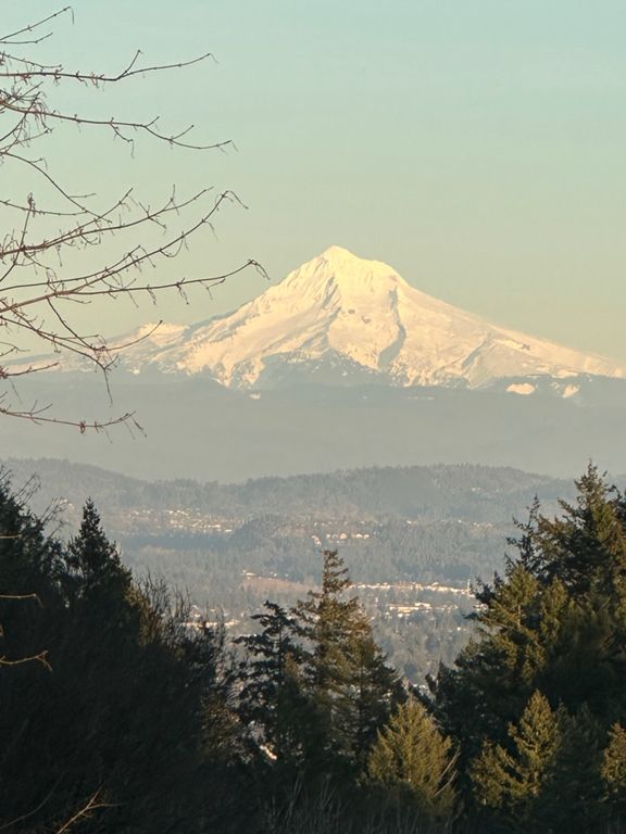


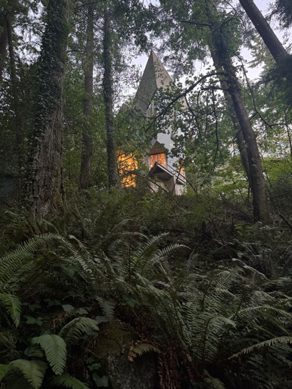

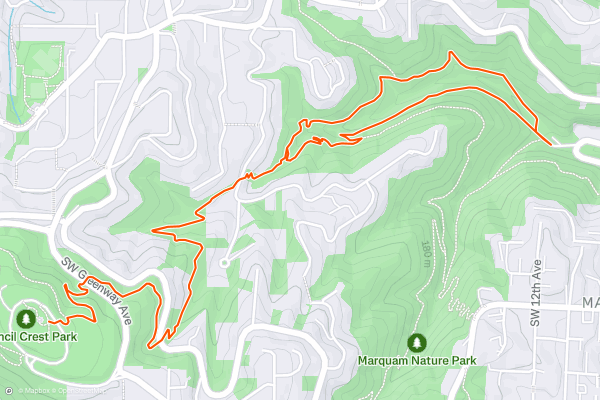
Council Crest Hike
This hike in Council Crest City park, which follows several of the local trails, is a fun urban hike with great views of the city. There are several possible hikes in the park’s trail network, but this particular routing is most popular with Strava members. The hike is generally an out and back, with a slightly different path home. Because of the length and elevation gain, most consider this a moderate hike. If you’re looking for a quick hiking option near downtown, this is a great place to get some time in nature.
3


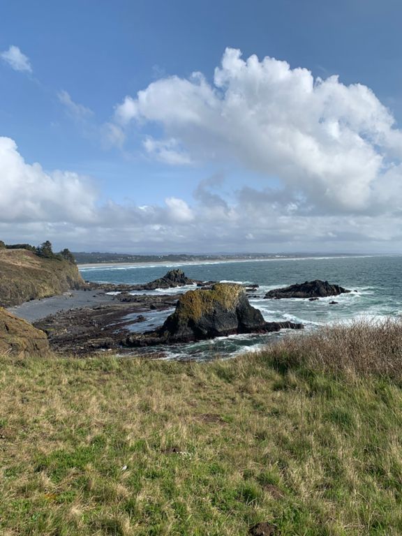
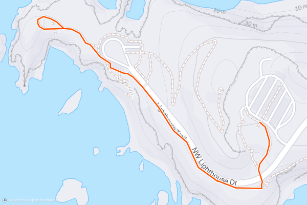
Yaquina Head Lighthouse
Standing 93 feet tall, the Yaquina Head Light is the tallest lighthouse in Oregon. Made in Paris and subsequently shipped to Oregon, the lighthouse was first lit in 1873.
Yaquina Head itself has now been designated as an "Outstanding Natural Area....
4

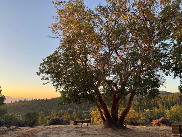
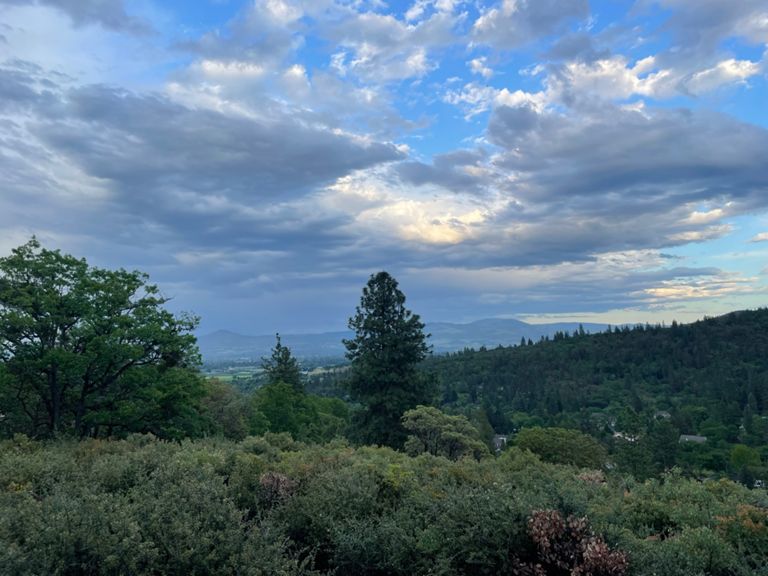

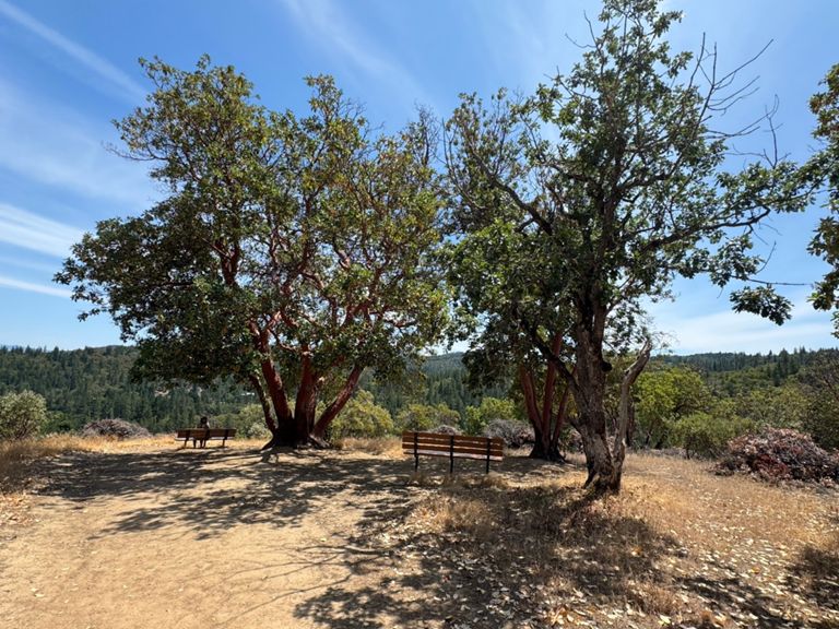
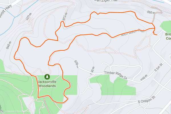
Panorama Point Loop
This short loop to Panorama Point offers a mellow yet secluded hike to a scenic vista overlooking Jacksonville, with views out into the Rogue Valley beyond.
The hike begins at Britt Park and heads into the Britt Woodlands....
5
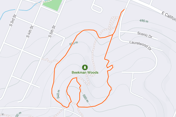
Beekman Woods Loop
The Beekman Woods, also known as the Beekman Arboretum, "was originally a part of the lands of pioneer banker C.C. Beekman, whose historic home is just to the north," according to [JacksonvilleOr....
6
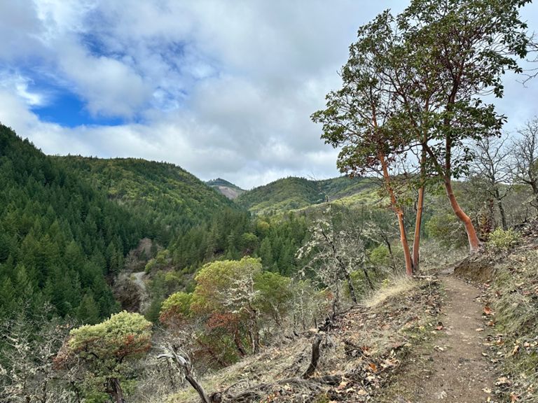
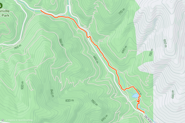
Forest Park: Norling Trail
The Norling Trail is a mellow, easily-accessible hike in Jacksonville's Forest Park. While there are several different access points for this trail, the trailhead noted here is the lowest and easiest trailhead to access in the park....
7
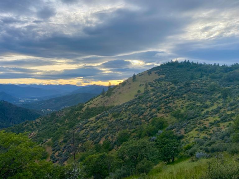

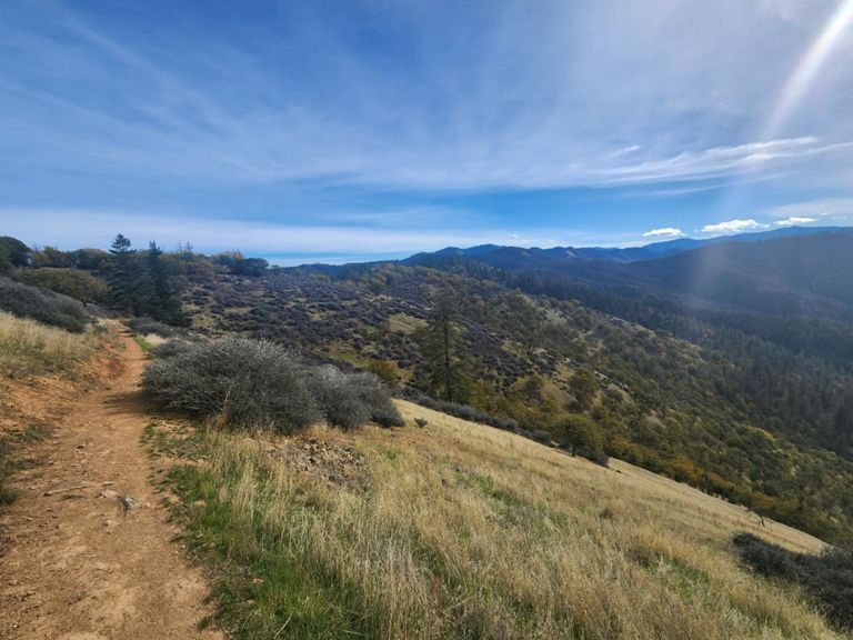
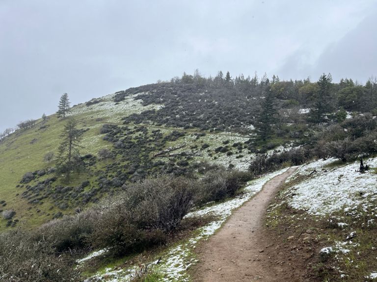
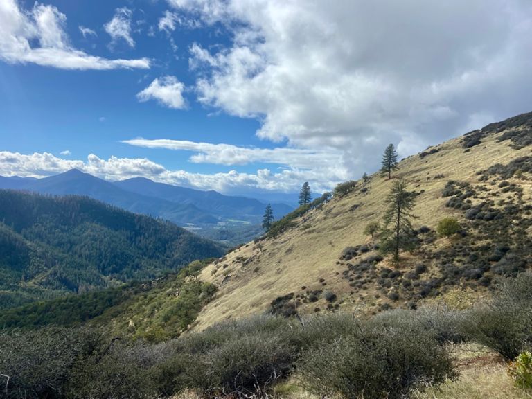
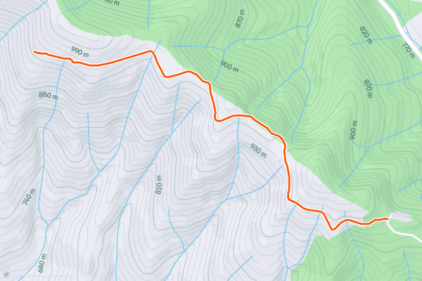
East Applegate Ridge Trail
I've come up with a favorite new method for evaluating hikes. Now, I grade every hike on an "effort-to-view ratio" which asks, "how much effort do you have to put in to get rewarded with beautiful views?" While I haven't quite defined a 10-point grading scale just yet, it is an interesting way to consider each hike that you go on....
8

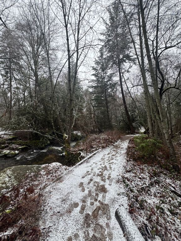


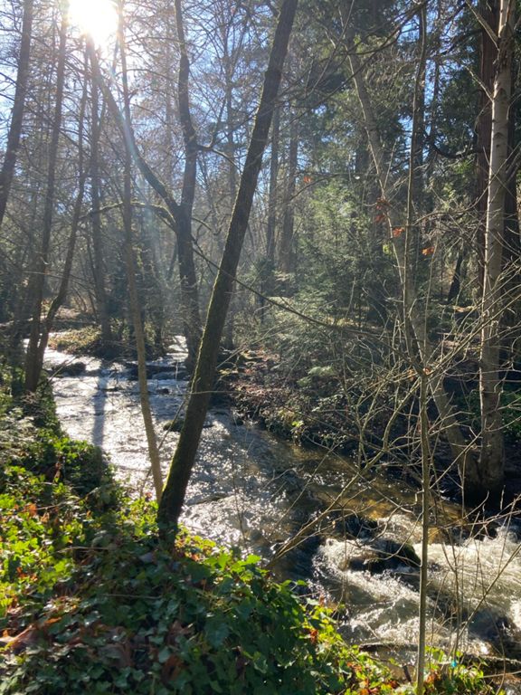
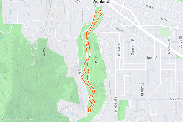
Lithia Park Loop
Accessible directly from downtown, Lithia Park is Ashland's "crown jewel."
"Lithia is a 100-acre vista of emerald lawns, tennis/pickleball courts, a sand-pit volleyball court, picnic areas, colorful landscaping, and playground equipment," according to [Ashland....
9


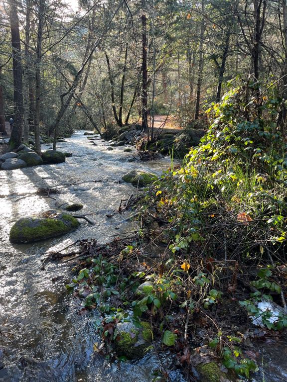
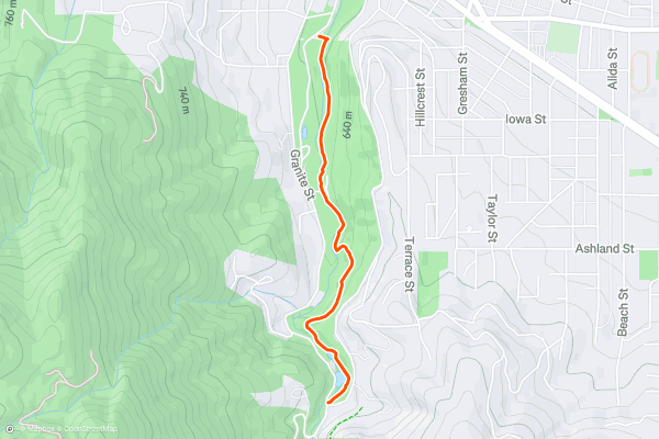
Lithia Reservoir
Accessible directly from downtown, Lithia Park is Ashland's "crown jewel."
"Lithia is a 100-acre vista of emerald lawns, tennis/pickleball courts, a sand-pit volleyball court, picnic areas, colorful landscaping, and playground equipment," according to [Ashland....
10
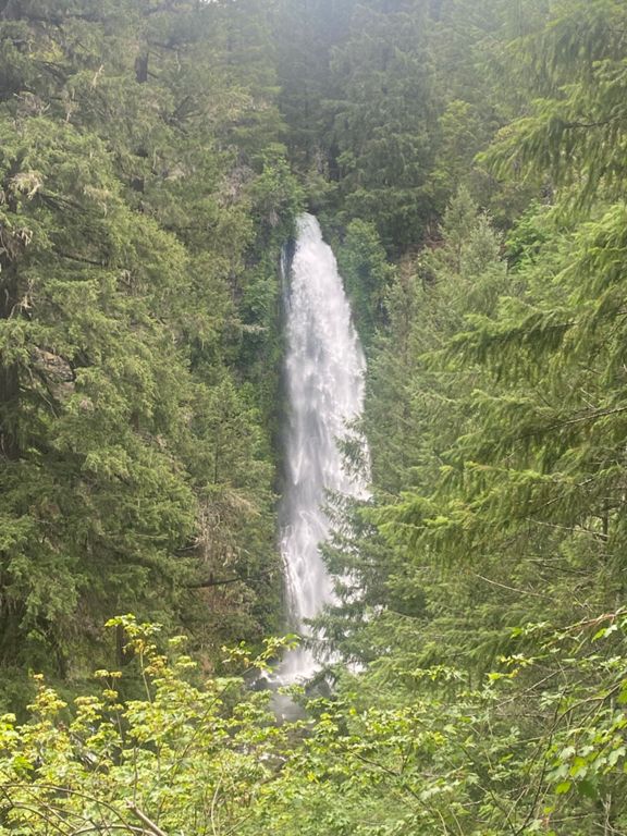
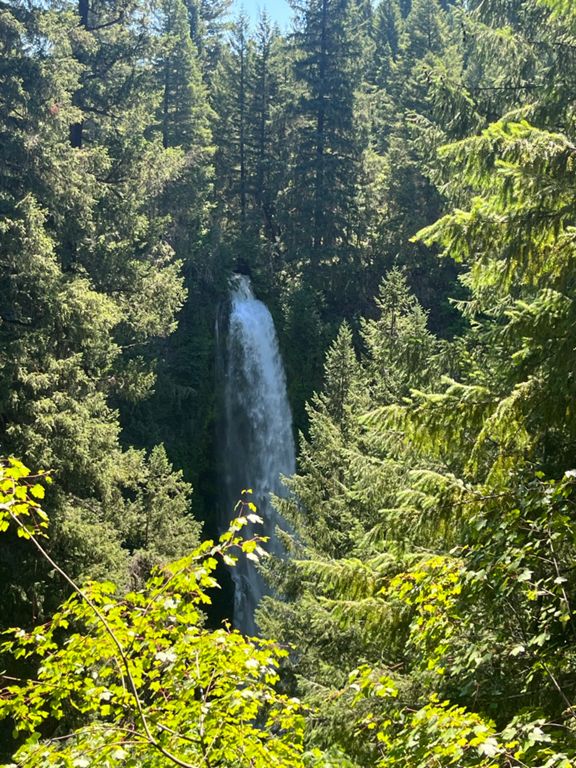


Mill Creek Falls
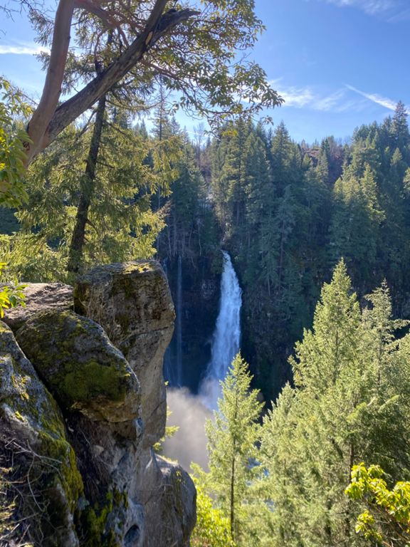
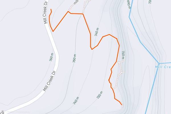
While this hike might be short, the view payoff is stunning! On this short hike you'll gain incredible views of both Mill Creek Falls and Barr Creek Falls.
The trail descends a small hill to reach the fall overlooks, meaning you'll have to hike back uphill to return to your car....
11


Pinnacles Overlook
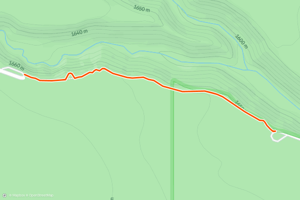
While Crater Lake itself is the primary focal point of the vast majority of tourism in Crater Lake National Park, heading off the beaten path can reward the intrepid explorer with unexpected, stunning vistas....
12

Zigler Trail
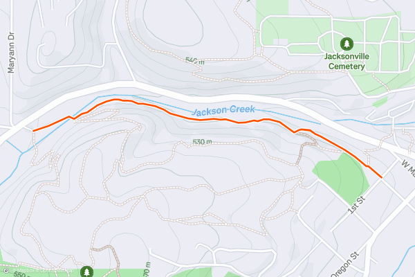
The Zigler Trail is one of the most popular trails in Jacksonville's Britt Woods. This easily-accessible and mostly-flat singletrack trail begins in the heart of Britt Gardens by passing the towering sequoia tree planted by Peter Britt in 1862....
13


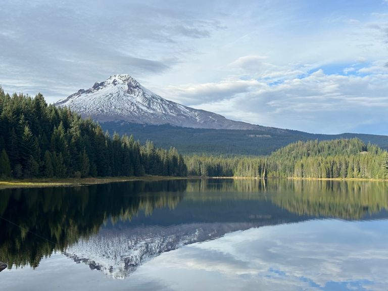
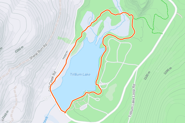
Trillium Lake Loop
Trillium Lake is an ultra-popular spot to gain fantastic views of Mount Hood towering high above. The mirror-like surface of the lake provides a stunning reflection, as shown in these photos....
14
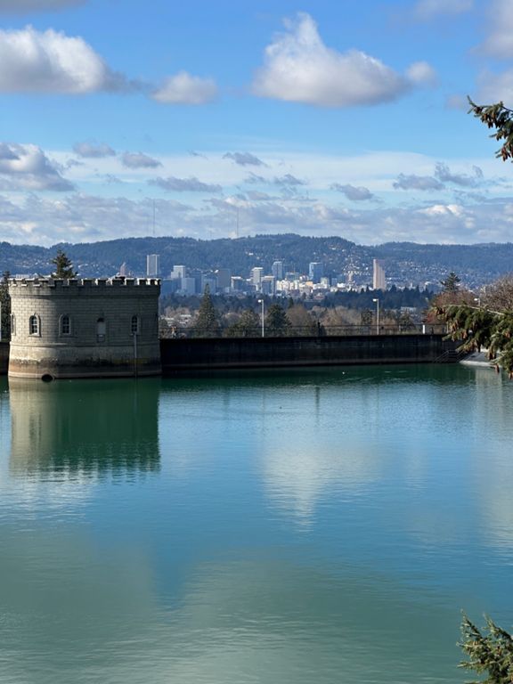

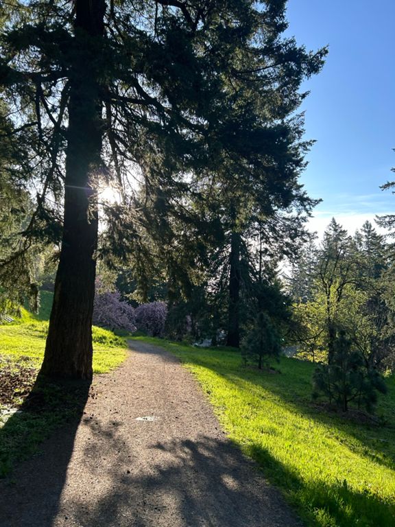
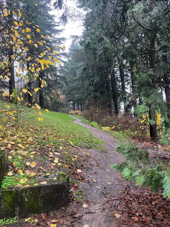

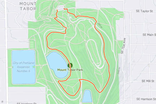
Mount Tabor Loop
Mount Tabor is the neighborhood recreation area for many Portlanders, as one of the few forested hills in this part of the city. It’s actually an extinct volcano, which is why it rises so starkly from the otherwise flat surroundings....
15

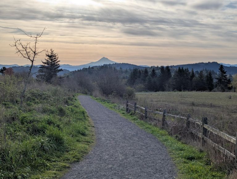


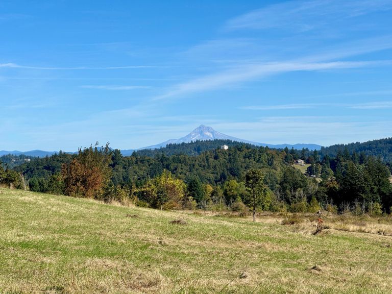
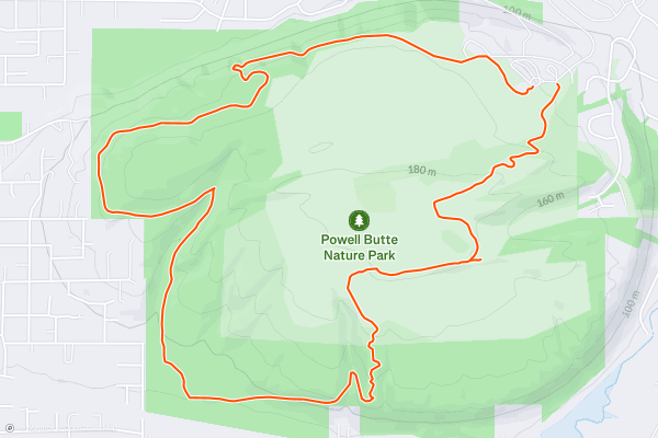
Powell Butte Loop
Powell Butte might be the best park on the east side of Portland for variety of trails and scenery. The rather flat top of this volcanic hill is mostly open grassland, while the steep sides are forested....
16


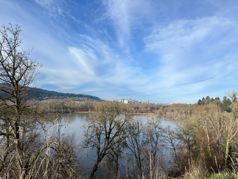

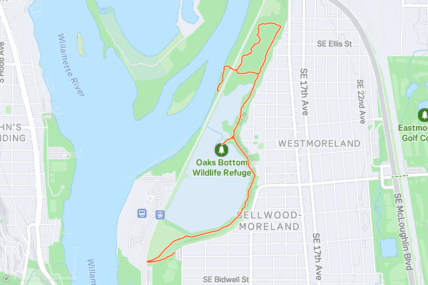
Oaks Bottom: Bluff Trail
Oaks Bottom is a wildlife refuge near downtown Portland, along the banks of the Willamette River. It offers a handful of peaceful trails among leafy forests and beside vibrant wetlands. The refuge is especially loved among birdwatchers, but the trails are great for anyone simply seeking a dose of nature in the city....
17

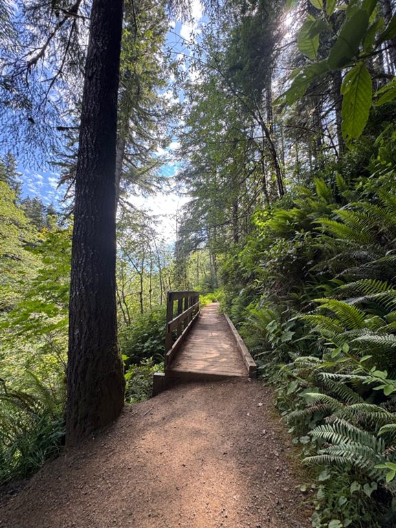


Drift Creek Falls
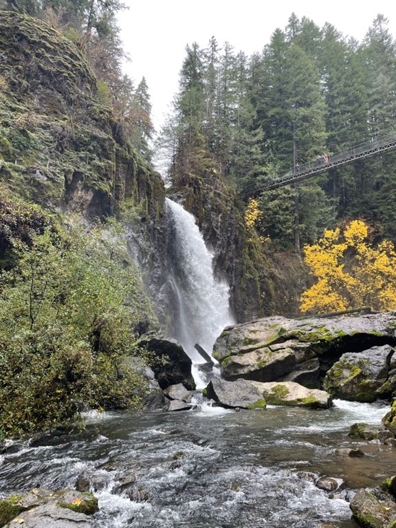
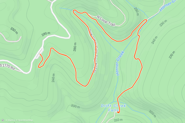
Drift Creek Falls is a stunning waterfall that soars off a sheer cliff of volcanic rock, plunging down into a creek that flows far below. The falls are dramatic in part because it is the actual junction of two different creeks: one flows in from the right side, while Drift Creek Falls plunges off the mountainside and merges into the first creek in the bottom of the gorge....
18



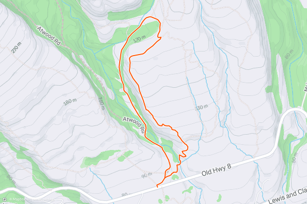
Catherine Creek Arch Loop
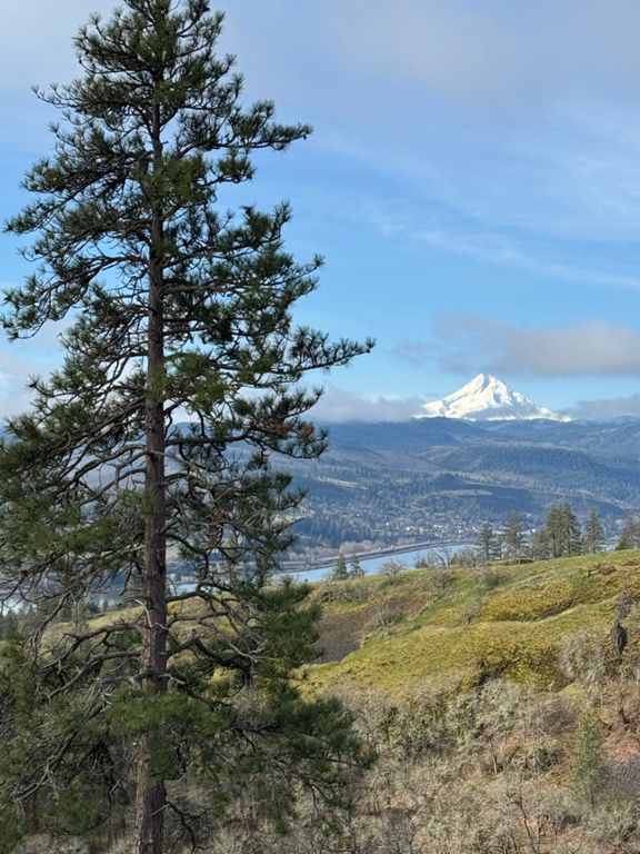
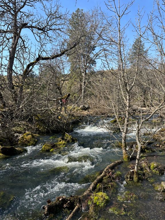
The Catherine Creek area provides the opportunity to complete several beautiful hikes. The short loop hike shown here leads to the Catherine Creek Arch, which stands apart from a cliff face on top of a talus slope....
19
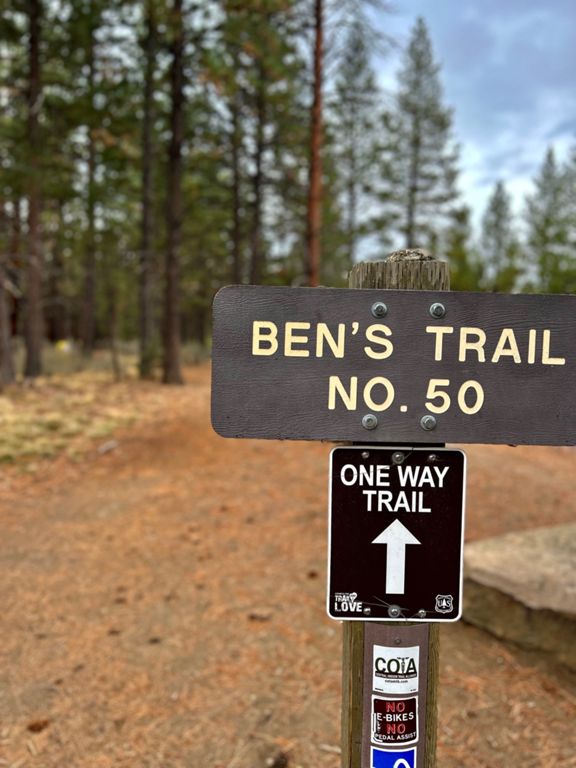
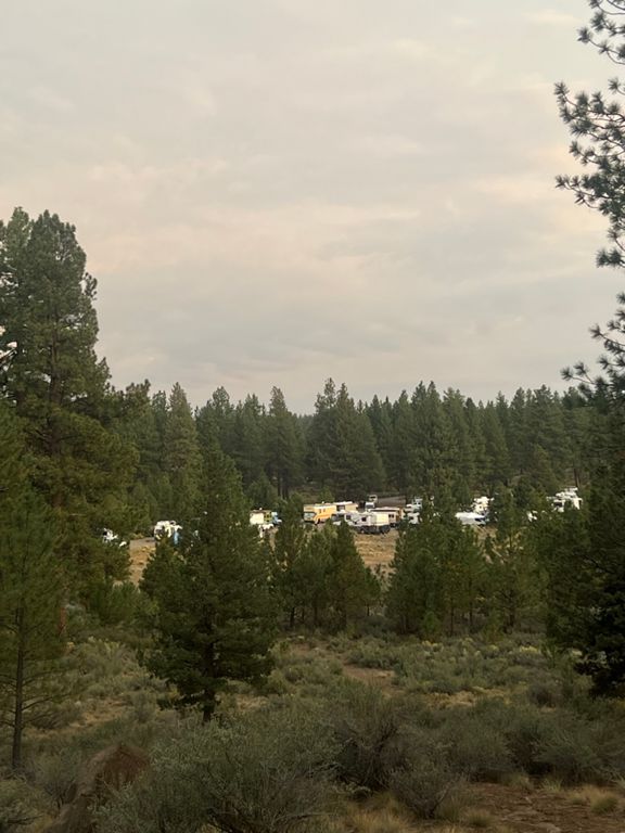

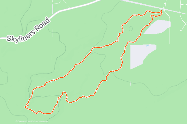
Kent's -> Phil's Short Loop
Kent’s to Phil’s is an iconic loop that anchors the famous Phil’s Trail Network.
To begin this mellow hike, head up the Kent’s trail from the primary Phil’s Trailhead. Kent’s is an easy climbing trail that is still technically open for downhill traffic....
20


Deschutes River Trail
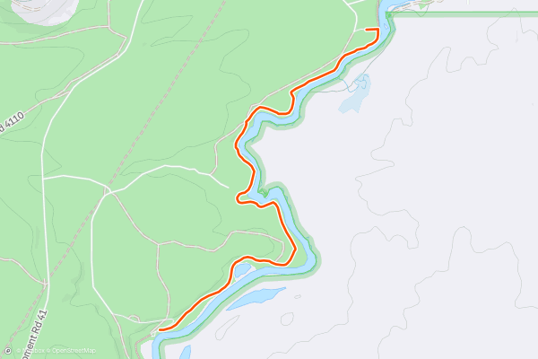
The Deschutes River Trail in its entirety stretches over 13 miles one-way along the banks of the river. This multi-use trail can easily be broken into shorter segments for a delightful, easy ride, hike, or run....
Page 1 of 6
Top regions for hiking trails on Strava
- Acadia National Park
- Alabama
- Alaska
- Albuquerque
- Alyeska
- Angeles National Forest
- Arizona
- Arkansas
- Austin, TX
- Bay Area
- Bend
- Big Sky
- Blue Mountain Ski Area
- Boston
- Boulder, CO
- Brevard
- Bridger Bowl
- Buena Vista
- California
- Cape Cod
- Colorado
- Connecticut
- Dahlonega
- Downieville
- Ellijay
- Flagstaff
- Florida
- Georgia
- Glacier National Park (USA)
- Grand Teton National Park
- Great Smoky Mountains National Park, TN
- Hawaii
- Hurricane
- Hyalite
- Idaho
- Illinois
- Indiana
- Kansas
- Kentucky
- Lake Tahoe
- Las Vegas, NV
- Los Angeles, CA
- Maine
- Mammoth Mountain
- Marin County
- Maryland
- Massachusetts
- Maui, HI
- Michigan
- Minnesota
- Missouri
- Moab
- Montana
- Mount Rainier National Park
- Mt. Rainier National Park, WA
- Nederland
- Nevada
- New Hampshire
- New Jersey
- New Mexico
- New York
- New York, NY
- North Bridgers
- North Carolina
- North Dakota
- Oakridge
- Ohio
- Oklahoma
- Oregon
- Park City and Deer Valley
- Pennsylvania
- Phoenix, AZ
- Placitas
- Portland, OR
- Roanoke
- Salida
- Salt Lake City, UT
- San Diego, CA
- San Francisco, CA
- Santa Fe, NM
- Santa Monica Mountains
- Seattle, WA
- Sedona, AZ
- Sisters
- South Carolina
- South Dakota
- South Lake Tahoe, CA
- Stowe
- Sugarbush
- Sun Valley
- Taos
- Telluride
- Tennessee
- Texas
- Timberline Lodge Summer
- Utah
- Vermont
- Virginia
- Washington
- West Virginia
- Wind River Range
- Winter Park
- Wisconsin
- Wyoming
- Yellowstone National Park
- Yosemite National Park, CA
- Zion National Park, UT